Mashiko night lights from space
Night Light of Mashiko (Tochigi) from space (Japan) Src. Average luminocity for 10x10km area is 5.544% and for 50x50km: 19.4579%.
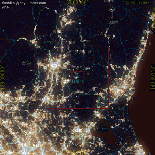
Analysis of Mashiko night lights 2016
Square area 10x10 km:
 0%
0%90-99
0%80-89
0%70-79
0%60-69
0.73%50-59
1.83%40-49
1.1%30-39
3.48%20-29
2.56%10-19
1.28%0-9
89.01%Square area 50x50 km:
1.37%90-99
3.03%80-89
1.67%70-79
2.24%60-69
3.1%50-59
3.89%40-49
4.18%30-39
4.51%20-29
7.67%10-19
12.95%0-9
55.39%Clear (daylight) street map image can be seen on geolist.org.
Map coordinates:
37° 1' 48.2" North, 139° 23' 48.8" East
36° 28' 0" North, 140° 6' 0" East
35° 53' 57" North, 140° 48' 11.3" East
Some cities around Mashiko sort by population:
• Mooka
8.3 km =5.2 mi,  243°
243°
• Shimodate
21.3 km =13.2 mi,  209°
209°
• Tomobe
22.1 km =13.7 mi,  125°
125°
• Kaminokawa
16.8 km =10.4 mi,  257°
257°
• Kasama
17.6 km =10.9 mi,  121°
121°
• Iwase
13 km =8.1 mi,  180°
180°
• Motegi
9.3 km =5.8 mi,  53°
53°
• Karasuyama
20.9 km =13 mi,  12°
12°
2111999 (p: 26,045)
Sources (retrieved 2019-11-25):
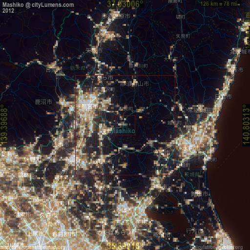
» Earth at Night: Flat Maps 2012, 2016