Ueda night lights from space
Night Light of Ueda (Nagano) from space (Japan) Src. Average luminocity for 10x10km area is 33.1451% and for 50x50km: 8.0447%.
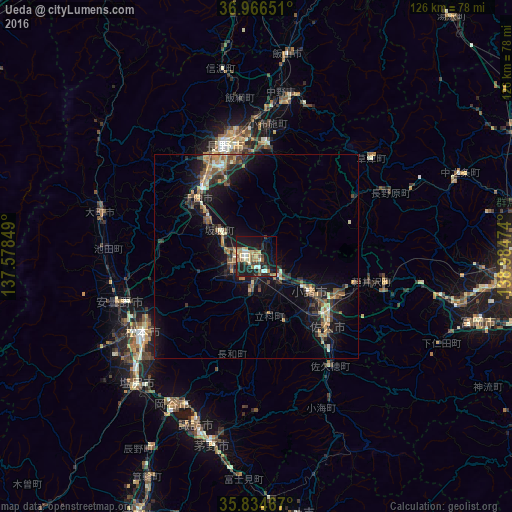
Analysis of Ueda night lights 2016
Square area 10x10 km:
 1.57%
1.57%90-99
6.12%80-89
6.29%70-79
3.32%60-69
5.77%50-59
4.37%40-49
3.15%30-39
2.8%20-29
14.86%10-19
35.66%0-9
16.08%Square area 50x50 km:
0.17%90-99
0.89%80-89
0.89%70-79
1.1%60-69
1.39%50-59
1.42%40-49
1.13%30-39
1.55%20-29
2.56%10-19
8.33%0-9
80.56%Clear (daylight) street map image can be seen on geolist.org.
Map coordinates:
36° 57' 59.4" North, 137° 34' 42.6" East
36° 24' 9.5" North, 138° 16' 53.8" East
35° 50' 4.8" North, 138° 59' 5.1" East
Some cities around Ueda sort by population:
• Nagano
28.9 km =18 mi,  342°
342°
• Matsumoto
33.9 km =21.1 mi,  236°
236°
• Saku
27.5 km =17.1 mi,  138°
138°
• Suzaka
27.7 km =17.2 mi,  6°
6°
• Komoro
16.6 km =10.3 mi,  125°
125°
• Hotaka
36.4 km =22.6 mi,  258°
258°
• Toyoshina
35.9 km =22.3 mi,  251°
251°
• Kamimaruko
9.4 km =5.8 mi,  184°
184°
1849429 (p: 126,606)
Sources (retrieved 2019-11-25):
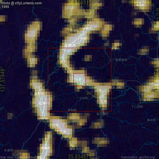
» NASA, Earths city lights 1995
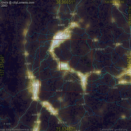
» NASA city lights 2003
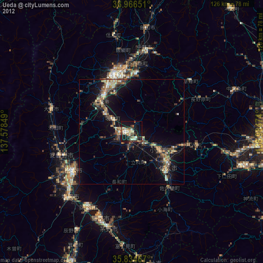
» Earth at Night: Flat Maps 2012, 2016