Matsumoto night lights from space
Night Light of Matsumoto (Nagano) from space (Japan) Src. Average luminocity for 10x10km area is 43.2885% and for 50x50km: 6.5699%.
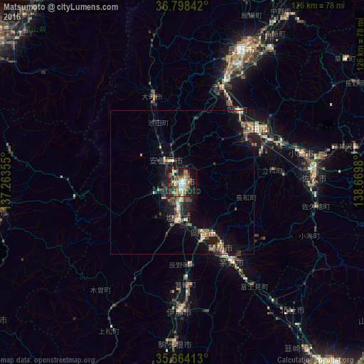
Analysis of Matsumoto night lights 2016
Square area 10x10 km:
 5.07%
5.07%90-99
6.64%80-89
4.55%70-79
9.44%60-69
5.77%50-59
6.82%40-49
7.69%30-39
7.34%20-29
15.91%10-19
25.52%0-9
5.24%Square area 50x50 km:
0.34%90-99
0.74%80-89
0.66%70-79
0.83%60-69
1.06%50-59
1.07%40-49
1.2%30-39
1.17%20-29
2.21%10-19
6.54%0-9
84.18%Clear (daylight) street map image can be seen on geolist.org.
Map coordinates:
36° 47' 54.3" North, 137° 15' 48.8" East
36° 13' 60" North, 137° 58' 0" East
35° 39' 50.9" North, 138° 40' 11.3" East
Some cities around Matsumoto sort by population:
• Shiojiri
14.8 km =9.2 mi,  180°
180°
• Suwa
25.4 km =15.8 mi,  148°
148°
• Okaya
20.9 km =13 mi,  160°
160°
• Hotaka
14 km =8.7 mi,  327°
327°
• Ōmachi
31 km =19.3 mi,  343°
343°
• Toyoshina
9.5 km =5.9 mi,  321°
321°
• Kamimaruko
29.1 km =18.1 mi,  70°
70°
• Tatsuno
27.8 km =17.3 mi,  174°
174°
1857519 (p: 210,667)
Sources (retrieved 2019-11-25):
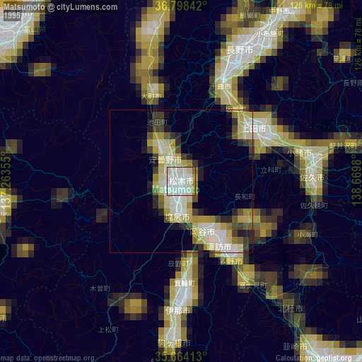
» NASA, Earths city lights 1995
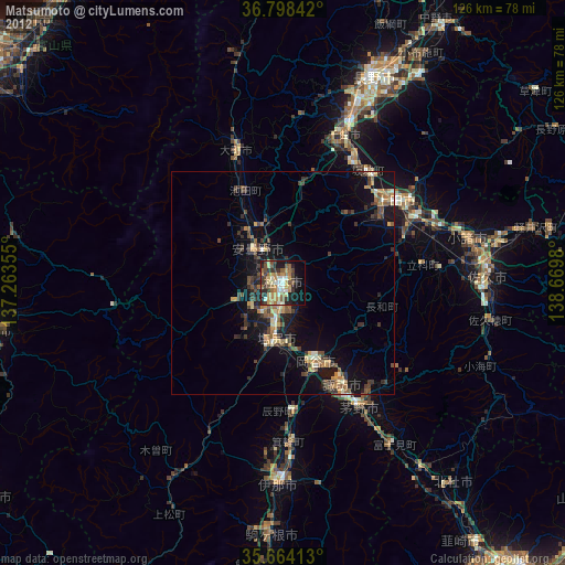
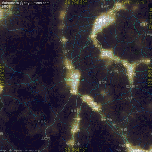
» NASA city lights 2003
» Earth at Night: Flat Maps 2012, 2016