Saku night lights from space
Night Light of Saku (Nagano) from space (Japan) Src. Average luminocity for 10x10km area is 15.3479% and for 50x50km: 5.1637%.
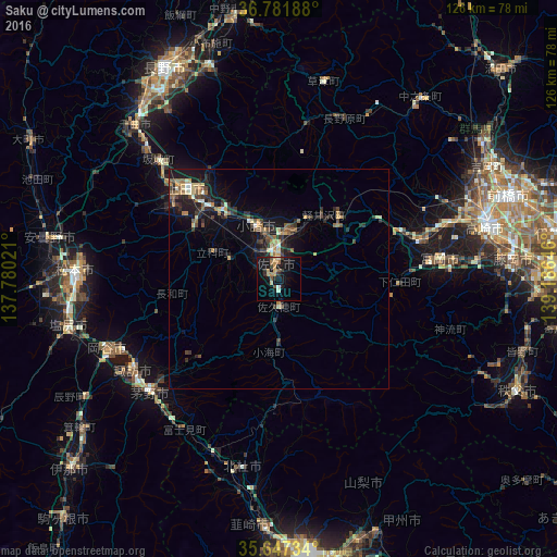
Analysis of Saku night lights 2016
Square area 10x10 km:
 0%
0%90-99
1.92%80-89
1.4%70-79
2.45%60-69
4.02%50-59
1.05%40-49
2.1%30-39
1.75%20-29
2.8%10-19
19.58%0-9
62.94%Square area 50x50 km:
0.11%90-99
0.53%80-89
0.71%70-79
0.64%60-69
0.84%50-59
0.83%40-49
0.77%30-39
1.14%20-29
1.86%10-19
4.58%0-9
87.99%Clear (daylight) street map image can be seen on geolist.org.
Map coordinates:
36° 46' 54.8" North, 137° 46' 48.8" East
36° 13' 0" North, 138° 28' 60" East
35° 38' 50.4" North, 139° 11' 11.3" East
Some cities around Saku sort by population:
• Ueda
27.5 km =17.1 mi,  318°
318°
• Chino
38.5 km =23.9 mi,  230°
230°
• Suwa
38.7 km =24 mi,  239°
239°
• Tomioka
37.4 km =23.2 mi,  83°
83°
• Annaka
39.1 km =24.3 mi,  71°
71°
• Komoro
12 km =7.5 mi,  338°
338°
• Hokuto
43.2 km =26.8 mi,  190°
190°
• Kamimaruko
22 km =13.7 mi,  301°
301°
1853081 (p: 68,885)
Sources (retrieved 2019-11-25):
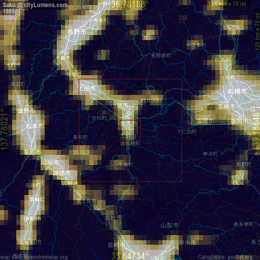
» NASA, Earths city lights 1995
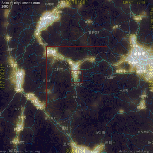
» NASA city lights 2003
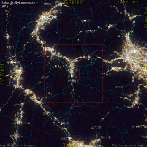
» Earth at Night: Flat Maps 2012, 2016