Nagano night lights from space
Night Light of Nagano from space (Japan) Src. Average luminocity for 10x10km area is 51.4853% and for 50x50km: 7.0256%.
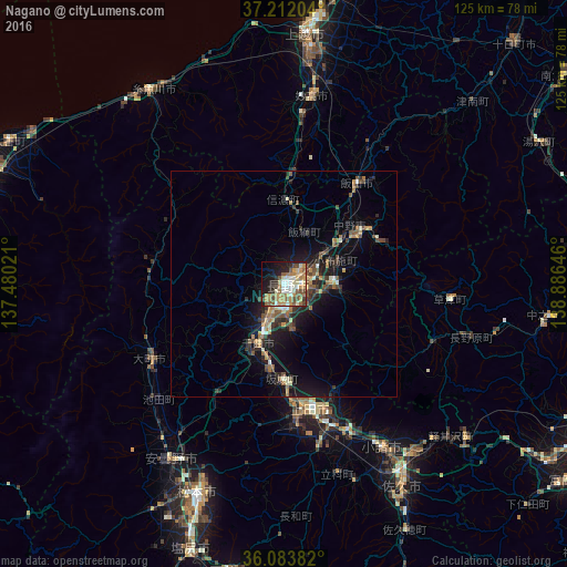
Analysis of Nagano night lights 2016
Square area 10x10 km:
 6.23%
6.23%90-99
9.71%80-89
7.14%70-79
12.27%60-69
9.34%50-59
10.81%40-49
5.86%30-39
3.48%20-29
8.79%10-19
18.68%0-9
7.69%Square area 50x50 km:
0.29%90-99
0.88%80-89
0.64%70-79
0.97%60-69
1.24%50-59
1.39%40-49
1.23%30-39
1.19%20-29
2.16%10-19
6.02%0-9
83.98%Clear (daylight) street map image can be seen on geolist.org.
Map coordinates:
37° 12' 43.3" North, 137° 28' 48.8" East
36° 39' 0" North, 138° 10' 60" East
36° 5' 1.8" North, 138° 53' 11.3" East
Some cities around Nagano sort by population:
• Ueda
28.9 km =18 mi,  162°
162°
• Suzaka
11.9 km =7.4 mi,  90°
90°
• Nakano
19.8 km =12.3 mi,  55°
55°
• Ōmachi
32.8 km =20.4 mi,  239°
239°
• Arai
39.2 km =24.4 mi,  5°
5°
• Kamimaruko
37.7 km =23.4 mi,  167°
167°
• Iiyama
27.6 km =17.1 mi,  36°
36°
• Hakuba
29.2 km =18.1 mi,  280°
280°
1856215 (p: 360,176)
Sources (retrieved 2019-11-25):
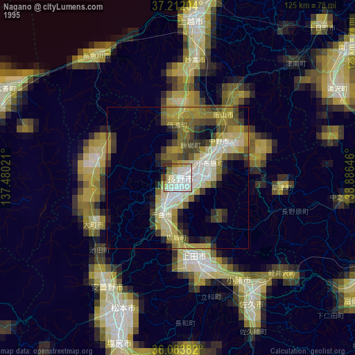
» NASA, Earths city lights 1995
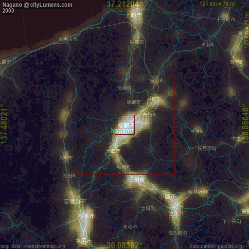
» NASA city lights 2003
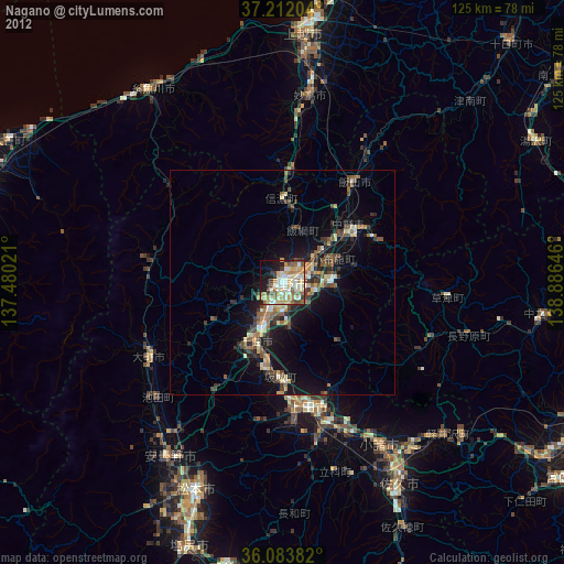
» Earth at Night: Flat Maps 2012, 2016