Komoro night lights from space
Night Light of Komoro (Nagano) from space (Japan) Src. Average luminocity for 10x10km area is 25.5594% and for 50x50km: 5.7404%.
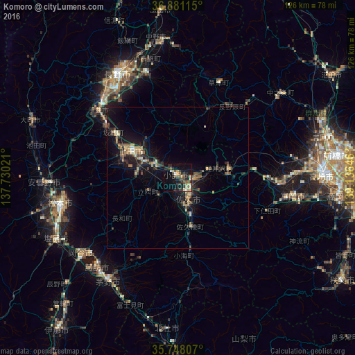
Analysis of Komoro night lights 2016
Square area 10x10 km:
 1.22%
1.22%90-99
3.15%80-89
4.37%70-79
2.97%60-69
2.8%50-59
4.55%40-49
3.15%30-39
7.69%20-29
7.34%10-19
21.5%0-9
41.26%Square area 50x50 km:
0.11%90-99
0.61%80-89
0.71%70-79
0.7%60-69
0.9%50-59
0.91%40-49
0.88%30-39
1.12%20-29
2%10-19
5.69%0-9
86.37%Clear (daylight) street map image can be seen on geolist.org.
Map coordinates:
36° 52' 52.1" North, 137° 43' 48.8" East
36° 19' 0" North, 138° 25' 60" East
35° 44' 53.1" North, 139° 8' 11.3" East
Some cities around Komoro sort by population:
• Matsumoto
42.8 km =26.6 mi,  257°
257°
• Ueda
16.6 km =10.3 mi,  305°
305°
• Saku
12 km =7.5 mi,  158°
158°
• Suwa
42.3 km =26.3 mi,  222°
222°
• Suzaka
38.5 km =23.9 mi,  344°
344°
• Tomioka
42.2 km =26.2 mi,  99°
99°
• Annaka
41.5 km =25.8 mi,  87°
87°
• Kamimaruko
14.3 km =8.9 mi,  270°
270°
1858858 (p: 46,272)
Sources (retrieved 2019-11-25):
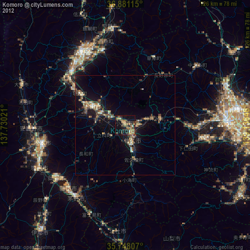
» Earth at Night: Flat Maps 2012, 2016