Sendai night lights from space
Night Light of Sendai (Miyagi) from space (Japan) Src. Average luminocity for 10x10km area is 88.4694% and for 50x50km: 21.1609%.
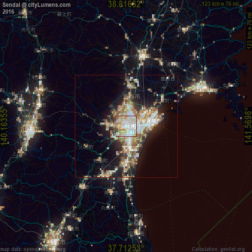
Analysis of Sendai night lights 2016
Square area 10x10 km:
 29.42%
90-99
30.1%80-89
16.5%70-79
12.24%60-69
6.97%50-59
2.38%40-49
1.02%30-39
1.36%20-29
0%10-19
0%0-9
0%Square area 50x50 km:
3.45%90-99
4.61%80-89
2.23%70-79
2.83%60-69
3.41%50-59
2.84%40-49
2.23%30-39
2.8%20-29
5.17%10-19
10.54%0-9
59.87%Clear (daylight) street map image can be seen on geolist.org.
Map coordinates:
38° 48' 59.8" North, 140° 9' 48.8" East
38° 16' 0" North, 140° 52' 0" East
37° 42' 45.1" North, 141° 34' 11.3" East
Some cities around Sendai sort by population:
• Shiogama
15.6 km =9.7 mi,  69°
69°
• Tomiya
14.2 km =8.8 mi,  6°
6°
• Iwanuma
18 km =11.2 mi,  182°
182°
• Watari
25.8 km =16 mi, 183°
• Rifu
12 km =7.5 mi,  53°
53°
• Kakuda
33.5 km =20.8 mi,  194°
194°
• Ōkawara
26.8 km =16.7 mi,  205°
205°
• Matsushima
20.7 km =12.9 mi, 54°
2111149 (p: 1,063,103)
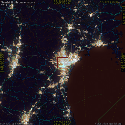
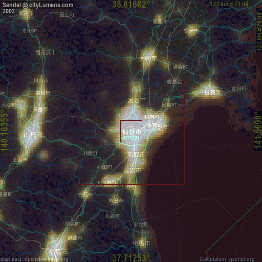
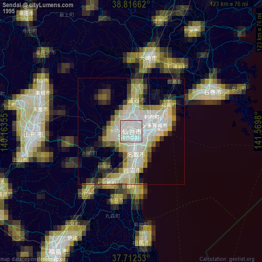
Sources (retrieved 2019-11-25):
» NASA, Earths city lights 1995
» NASA city lights 2003
» Earth at Night: Flat Maps 2012, 2016