Takefu night lights from space
Night Light of Takefu (Fukui) from space (Japan) Src. Average luminocity for 10x10km area is 28.7747% and for 50x50km: 5.9192%.
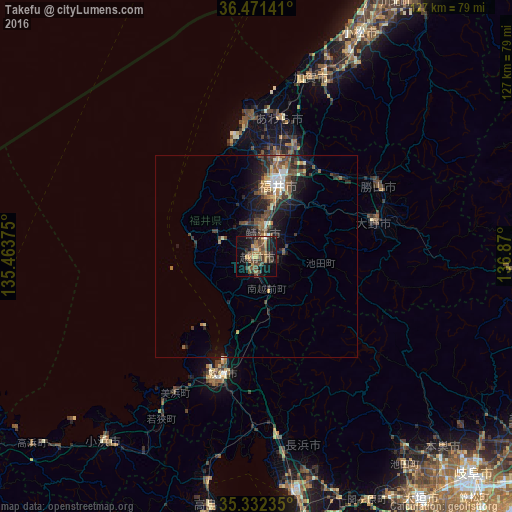
Analysis of Takefu night lights 2016
Square area 10x10 km:
 0%
0%90-99
0.73%80-89
2.01%70-79
5.49%60-69
6.23%50-59
7.33%40-49
10.81%30-39
8.61%20-29
4.58%10-19
26.37%0-9
27.84%Square area 50x50 km:
0.38%90-99
0.56%80-89
0.63%70-79
0.66%60-69
0.87%50-59
1.14%40-49
1.7%30-39
1.23%20-29
1.99%10-19
4.46%0-9
86.37%Clear (daylight) street map image can be seen on geolist.org.
Map coordinates:
36° 28' 17.1" North, 135° 27' 49.5" East
35° 54' 14.1" North, 136° 10' 0.7" East
35° 19' 56.5" North, 136° 52' 12" East
Some cities around Takefu sort by population:
• Fukui-shi
18.5 km =11.5 mi,  15°
15°
• Tsuruga
30.4 km =18.9 mi,  199°
199°
• Sabae
5 km =3.1 mi, 19°
• Ono
30.1 km =18.7 mi,  73°
73°
• Maruoka
29.3 km =18.2 mi, 18°
• Katsuyama
34.8 km =21.6 mi,  59°
59°
• Mikuni
34.8 km =21.6 mi,  357°
357°
• Asahi
8.5 km =5.3 mi,  333°
333°
1850872 (p: 75,753)
Sources (retrieved 2019-11-25):
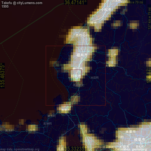
» NASA, Earths city lights 1995
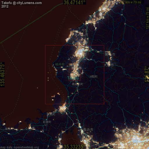
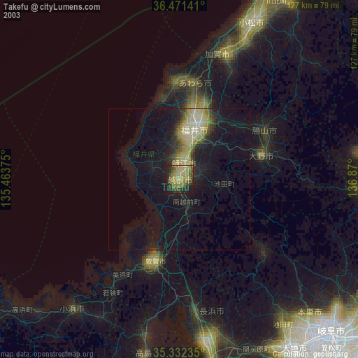
» NASA city lights 2003
» Earth at Night: Flat Maps 2012, 2016