Katsuyama night lights from space
Night Light of Katsuyama (Fukui) from space (Japan) Src. Average luminocity for 10x10km area is 5.0256% and for 50x50km: 3.5032%.
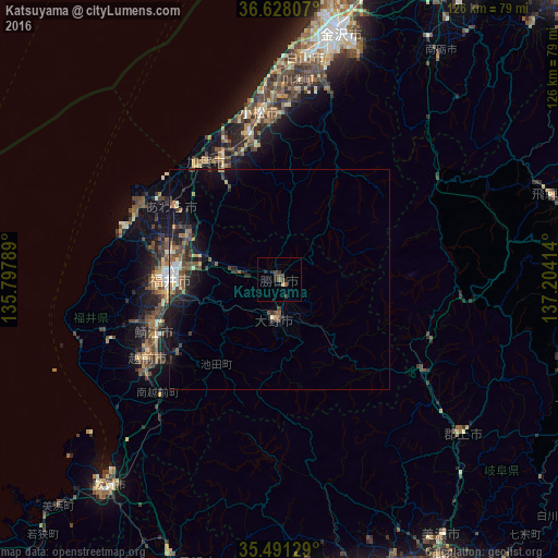
Analysis of Katsuyama night lights 2016
Square area 10x10 km:
 0%
0%90-99
0%80-89
0%70-79
0.37%60-69
0.55%50-59
2.01%40-49
2.01%30-39
2.38%20-29
2.93%10-19
0%0-9
89.74%Square area 50x50 km:
0.24%90-99
0.3%80-89
0.28%70-79
0.22%60-69
0.59%50-59
0.73%40-49
0.93%30-39
0.75%20-29
1.28%10-19
2.64%0-9
92.06%Clear (daylight) street map image can be seen on geolist.org.
Map coordinates:
36° 37' 41.1" North, 135° 47' 52.4" East
36° 3' 42.2" North, 136° 30' 3.6" East
35° 29' 28.6" North, 137° 12' 14.9" East
Some cities around Katsuyama sort by population:
• Fukui-shi
25 km =15.5 mi,  270°
270°
• Komatsu
38.2 km =23.7 mi,  353°
353°
• Takefu
34.8 km =21.6 mi,  239°
239°
• Sabae
31.2 km =19.4 mi,  245°
245°
• Ono
9.1 km =5.7 mi,  187°
187°
• Maruoka
23.1 km =14.4 mi,  296°
296°
• Mikuni
35.8 km =22.2 mi, 298°
• Asahi
35.3 km =21.9 mi, 253°
1859765 (p: 27,088)
Sources (retrieved 2019-11-25):
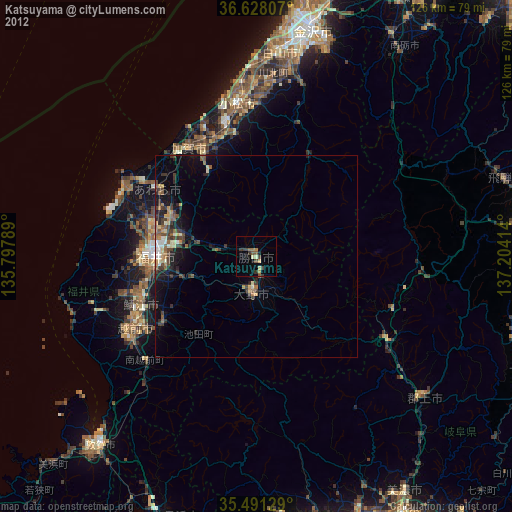
» Earth at Night: Flat Maps 2012, 2016