Tsuruga night lights from space
Night Light of Tsuruga (Fukui) from space (Japan) Src. Average luminocity for 10x10km area is 27.0682% and for 50x50km: 2.3411%.
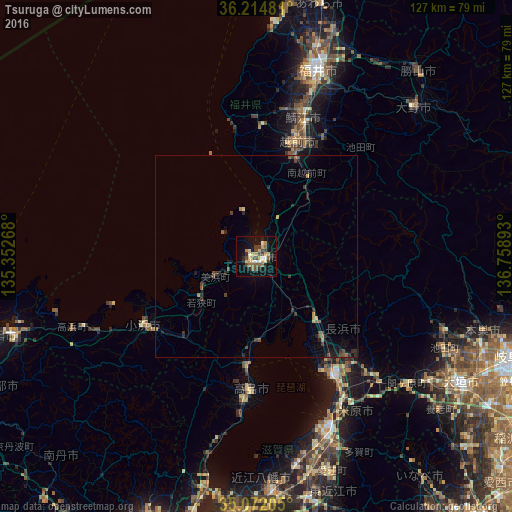
Analysis of Tsuruga night lights 2016
Square area 10x10 km:
 1.05%
1.05%90-99
3.32%80-89
5.77%70-79
4.37%60-69
3.32%50-59
4.2%40-49
5.59%30-39
2.97%20-29
5.59%10-19
23.08%0-9
40.73%Square area 50x50 km:
0.04%90-99
0.13%80-89
0.28%70-79
0.31%60-69
0.3%50-59
0.35%40-49
0.69%30-39
0.37%20-29
0.88%10-19
1.4%0-9
95.25%Clear (daylight) street map image can be seen on geolist.org.
Map coordinates:
36° 12' 53.3" North, 135° 21' 9.6" East
35° 38' 43.7" North, 136° 3' 20.9" East
35° 4' 19.4" North, 136° 45' 32.1" East
Some cities around Tsuruga sort by population:
• Fukui-shi
48.9 km =30.4 mi,  17°
17°
• Hikone
47.4 km =29.5 mi,  158°
158°
• Takefu
30.4 km =18.9 mi, 19°
• Sabae
35.4 km =22 mi, 19°
• Nagahama
34.8 km =21.6 mi,  146°
146°
• Obama
32.6 km =20.3 mi,  239°
239°
• Tarui
53.2 km =33.1 mi,  125°
125°
• Asahi
36.9 km =22.9 mi,  9°
9°
1849592 (p: 68,482)
Sources (retrieved 2019-11-25):
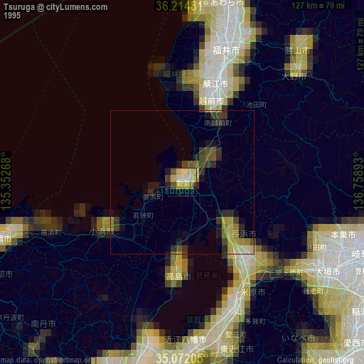
» NASA, Earths city lights 1995
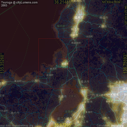
» NASA city lights 2003
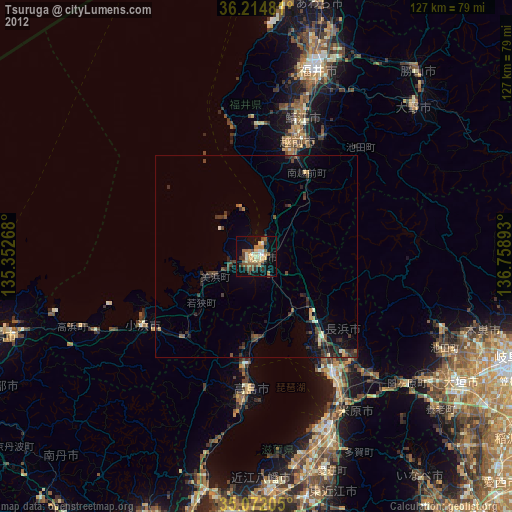
» Earth at Night: Flat Maps 2012, 2016