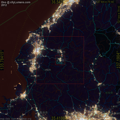
Ono night lights from space
Night Light of Ono (Fukui) from space (Japan) Src. Average luminocity for 10x10km area is 4.8553% and for 50x50km: 3.7288%.

Analysis of Ono night lights 2016
Square area 10x10 km:
100  0%
0%
90-99 0%
80-89 0.73%
70-79 0%
60-69 0.55%
50-59 0.92%
40-49 2.93%
30-39 2.01%
20-29 1.83%
10-19 0.73%
0-9 90.29%
0%90-99
0%80-89
0.73%70-79
0%60-69
0.55%50-59
0.92%40-49
2.93%30-39
2.01%20-29
1.83%10-19
0.73%0-9
90.29%Square area 50x50 km:
100 0.31%
90-99 0.44%
80-89 0.34%
70-79 0.2%
60-69 0.61%
50-59 0.74%
40-49 0.97%
30-39 0.77%
20-29 1.33%
10-19 3.02%
0-9 91.26%
0.31%90-99
0.44%80-89
0.34%70-79
0.2%60-69
0.61%50-59
0.74%40-49
0.97%30-39
0.77%20-29
1.33%10-19
3.02%0-9
91.26%Clear (daylight) street map image can be seen on geolist.org.
Map coordinates:
36° 32' 52.7" North, 135° 47' 2.9" East
35° 58' 51.8" North, 136° 29' 14.2" East
35° 24' 36.1" North, 137° 11' 25.4" East
Some cities around Ono sort by population:
• Fukui-shi
25.5 km =15.8 mi,  291°
291°
• Komatsu
47 km =29.2 mi,  356°
356°
• Takefu
30.1 km =18.7 mi,  253°
253°
• Sabae
27.5 km =17.1 mi,  261°
261°
• Maruoka
27.3 km =17 mi,  314°
314°
• Katsuyama
9.1 km =5.7 mi,  7°
7°
• Mikuni
40 km =24.9 mi, 311°
• Asahi
32.7 km =20.3 mi,  268°
268°
1854022 (p: 37,469)
Sources (retrieved 2019-11-25):
» Earth at Night: Flat Maps 2012, 2016