Fukui-shi night lights from space
Night Light of Fukui-shi (Fukui) from space (Japan) Src. Average luminocity for 10x10km area is 56.13% and for 50x50km: 8.1529%.
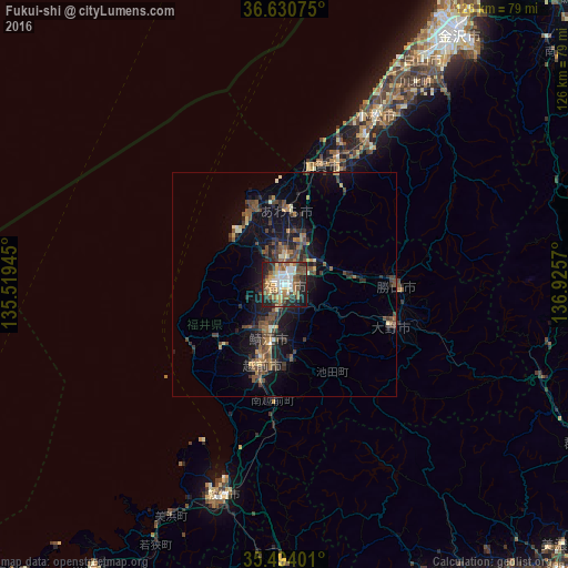
Analysis of Fukui-shi night lights 2016
Square area 10x10 km:
 9.52%
9.52%90-99
10.44%80-89
8.61%70-79
5.49%60-69
10.07%50-59
10.99%40-49
11.54%30-39
5.86%20-29
17.58%10-19
9.34%0-9
0.55%Square area 50x50 km:
0.4%90-99
0.75%80-89
0.75%70-79
0.73%60-69
1.25%50-59
1.55%40-49
2.56%30-39
1.75%20-29
2.62%10-19
6.36%0-9
81.27%Clear (daylight) street map image can be seen on geolist.org.
Map coordinates:
36° 37' 50.7" North, 135° 31' 10" East
36° 3' 51.9" North, 136° 13' 21.3" East
35° 29' 38.4" North, 136° 55' 32.5" East
Some cities around Fukui-shi sort by population:
• Komatsu
42.8 km =26.6 mi,  28°
28°
• Takefu
18.5 km =11.5 mi,  195°
195°
• Sabae
13.5 km =8.4 mi,  194°
194°
• Ono
25.5 km =15.8 mi,  111°
111°
• Maruoka
10.8 km =6.7 mi,  23°
23°
• Katsuyama
25 km =15.5 mi,  90°
90°
• Mikuni
18.1 km =11.2 mi,  339°
339°
• Asahi
13.5 km =8.4 mi,  220°
220°
1863985 (p: 248,707)
Sources (retrieved 2019-11-25):
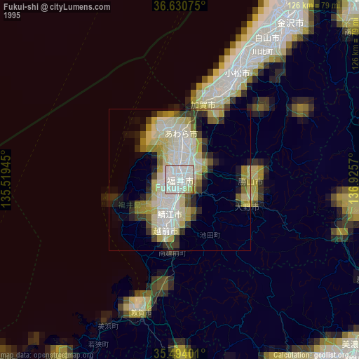
» NASA, Earths city lights 1995
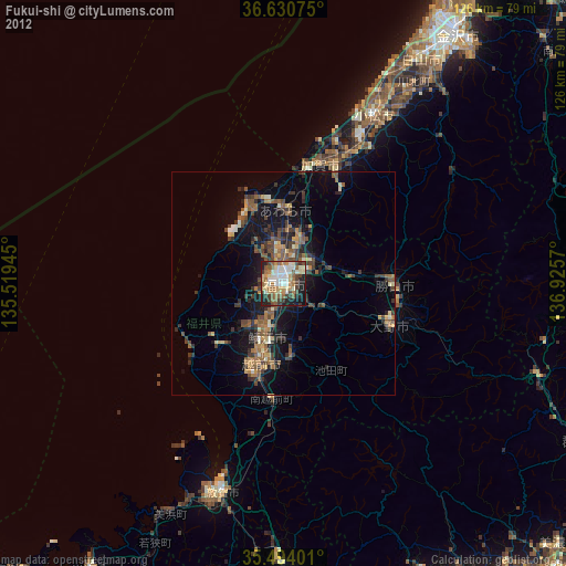
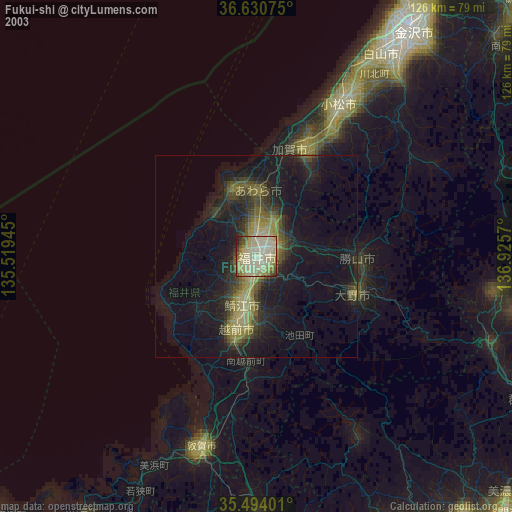
» NASA city lights 2003
» Earth at Night: Flat Maps 2012, 2016