Tajimi night lights from space
Night Light of Tajimi (Gifu) from space (Japan) Src. Average luminocity for 10x10km area is 38.2747% and for 50x50km: 35.9502%.
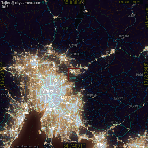
Analysis of Tajimi night lights 2016
Square area 10x10 km:
 2.75%
2.75%90-99
2.93%80-89
2.93%70-79
3.85%60-69
7.33%50-59
11.17%40-49
12.09%30-39
6.96%20-29
22.34%10-19
22.34%0-9
5.31%Square area 50x50 km:
11.09%90-99
6.73%80-89
3.67%70-79
4.32%60-69
4.57%50-59
4.35%40-49
4.36%30-39
3.92%20-29
7.48%10-19
7.44%0-9
42.06%Clear (daylight) street map image can be seen on geolist.org.
Map coordinates:
35° 53' 18.1" North, 136° 25' 48.8" East
35° 19' 0" North, 137° 7' 60" East
34° 44' 27.3" North, 137° 50' 11.3" East
Some cities around Tajimi sort by population:
• Kasugai
16.5 km =10.3 mi,  242°
242°
• Komaki
20 km =12.4 mi,  259°
259°
• Seto
9.7 km =6 mi,  198°
198°
• Inuyama
18.6 km =11.6 mi,  292°
292°
• Toki
5.9 km =3.7 mi,  50°
50°
• Minokamo
21 km =13 mi,  331°
331°
• Mizunami
12 km =7.5 mi,  62°
62°
• Mitake
11.1 km =6.9 mi,  0°
0°
1851193 (p: 107,818)
Sources (retrieved 2019-11-25):
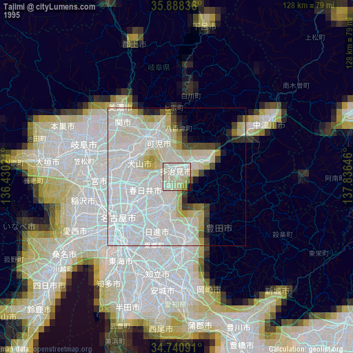
» NASA, Earths city lights 1995
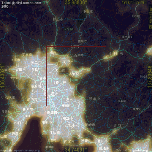
» NASA city lights 2003
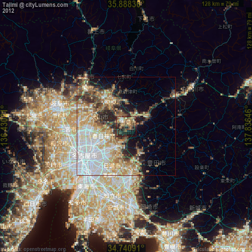
» Earth at Night: Flat Maps 2012, 2016