Kasugai night lights from space
Night Light of Kasugai (Aichi) from space (Japan) Src. Average luminocity for 10x10km area is 94.4441% and for 50x50km: 63.9319%.
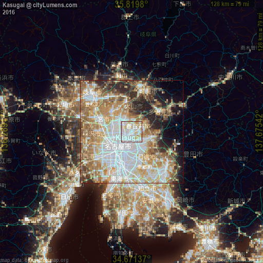
Analysis of Kasugai night lights 2016
Square area 10x10 km:
 41.61%
90-99
34.97%80-89
15.38%70-79
6.12%60-69
1.92%50-59
0%40-49
0%30-39
0%20-29
0%10-19
0%0-9
0%Square area 50x50 km:
17.99%90-99
14.6%80-89
8.15%70-79
8.94%60-69
10.18%50-59
8.82%40-49
5.37%30-39
4.55%20-29
7.25%10-19
6.08%0-9
8.07%Clear (daylight) street map image can be seen on geolist.org.
Map coordinates:
35° 49' 11.3" North, 136° 16' 9" East
35° 14' 51.4" North, 136° 58' 20.2" East
34° 40' 16.9" North, 137° 40' 31.5" East
Some cities around Kasugai sort by population:
• Nagoya
9.5 km =5.9 mi,  219°
219°
• Ichinomiya
16.7 km =10.4 mi,  290°
290°
• Komaki
6.4 km =4 mi,  308°
308°
• Seto
11.7 km =7.3 mi,  97°
97°
• Tajimi
16.5 km =10.3 mi,  62°
62°
• Kōnan
13.1 km =8.1 mi,  315°
315°
• Inuyama
15 km =9.3 mi,  349°
349°
• Iwakura
10.4 km =6.5 mi, 292°
1859891 (p: 298,589)
Sources (retrieved 2019-11-25):
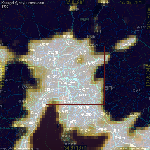
» NASA, Earths city lights 1995
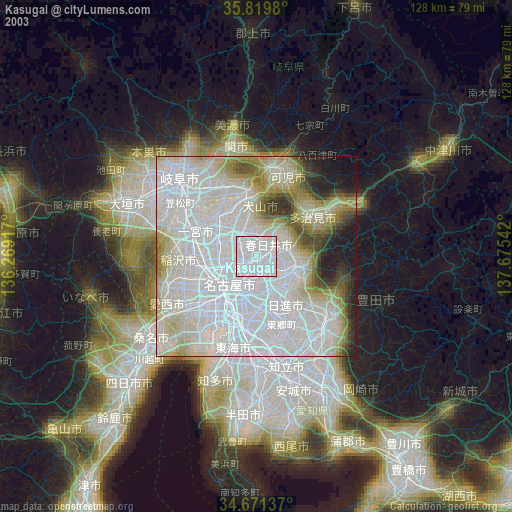
» NASA city lights 2003
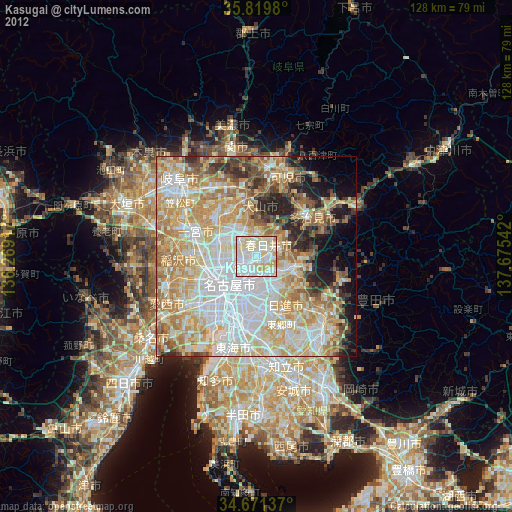
» Earth at Night: Flat Maps 2012, 2016