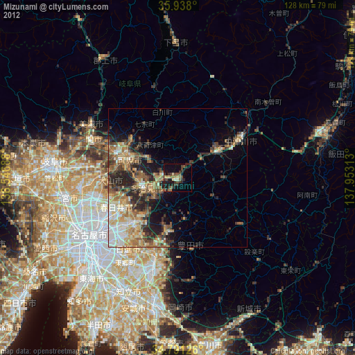
Mizunami night lights from space
Night Light of Mizunami (Gifu) from space (Japan) Src. Average luminocity for 10x10km area is 16.0421% and for 50x50km: 16.8617%.

Analysis of Mizunami night lights 2016
Square area 10x10 km:
 0.55%
0.55%90-99
0.18%80-89
1.47%70-79
1.47%60-69
1.47%50-59
4.03%40-49
5.86%30-39
4.21%20-29
6.41%10-19
16.12%0-9
58.24%Square area 50x50 km:
2.68%90-99
2.48%80-89
1.99%70-79
1.88%60-69
2.67%50-59
2.96%40-49
3.09%30-39
2.9%20-29
5.67%10-19
6.53%0-9
67.15%Clear (daylight) street map image can be seen on geolist.org.
Map coordinates:
35° 56' 16.8" North, 136° 32' 48.8" East
35° 22' 0" North, 137° 15' 0" East
34° 47' 28.5" North, 137° 57' 11.3" East
Some cities around Mizunami sort by population:
• Kasugai
28.5 km =17.7 mi,  242°
242°
• Seto
20.1 km =12.5 mi,  222°
222°
• Tajimi
12 km =7.5 mi, 242°
• Inuyama
27.9 km =17.3 mi,  273°
273°
• Toki
6.3 km =3.9 mi,  252°
252°
• Nakatsugawa
26.1 km =16.2 mi,  60°
60°
• Minokamo
24.3 km =15.1 mi,  301°
301°
• Mitake
11.9 km =7.4 mi, 297°
1856667 (p: 42,617)
Sources (retrieved 2019-11-25):
» Earth at Night: Flat Maps 2012, 2016