Komaki night lights from space
Night Light of Komaki (Aichi) from space (Japan) Src. Average luminocity for 10x10km area is 93.3829% and for 50x50km: 62.8936%.
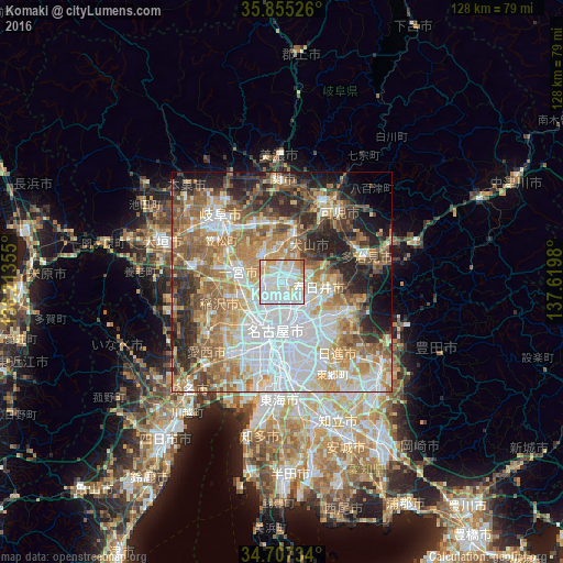
Analysis of Komaki night lights 2016
Square area 10x10 km:
 35.31%
90-99
40.91%80-89
9.27%70-79
11.54%60-69
2.8%50-59
0.17%40-49
0%30-39
0%20-29
0%10-19
0%0-9
0%Square area 50x50 km:
16.81%90-99
12.93%80-89
7.32%70-79
8.83%60-69
10.87%50-59
10.26%40-49
6.14%30-39
5.6%20-29
9.64%10-19
6.97%0-9
4.63%Clear (daylight) street map image can be seen on geolist.org.
Map coordinates:
35° 51' 18.9" North, 136° 12' 48.8" East
35° 16' 60" North, 136° 55' 0" East
34° 42' 26.4" North, 137° 37' 11.3" East
Some cities around Komaki sort by population:
• Nagoya
11.4 km =7.1 mi,  184°
184°
• Kasugai
6.4 km =4 mi,  128°
128°
• Ichinomiya
10.7 km =6.6 mi,  279°
279°
• Inazawa
12.7 km =7.9 mi,  252°
252°
• Kōnan
6.8 km =4.2 mi,  322°
322°
• Inuyama
11 km =6.8 mi,  12°
12°
• Iwakura
4.5 km =2.8 mi,  270°
270°
• Kuroda
14.2 km =8.8 mi,  301°
301°
1858926 (p: 151,025)
Sources (retrieved 2019-11-25):
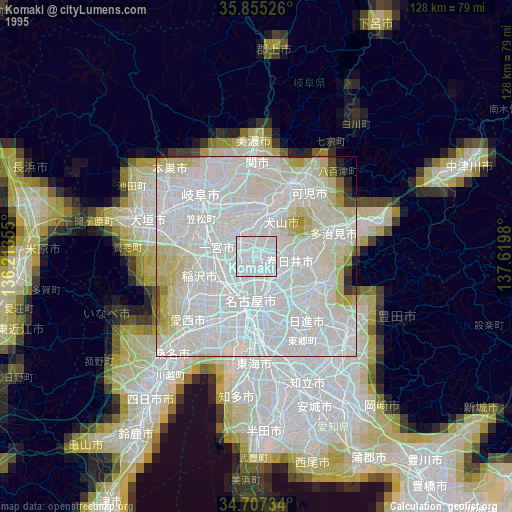
» NASA, Earths city lights 1995
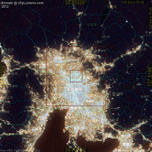
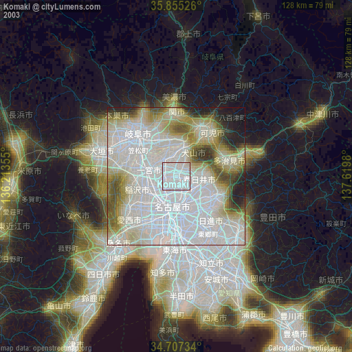
» NASA city lights 2003
» Earth at Night: Flat Maps 2012, 2016