Inuyama night lights from space
Night Light of Inuyama (Aichi) from space (Japan) Src. Average luminocity for 10x10km area is 55.8791% and for 50x50km: 44.9953%.
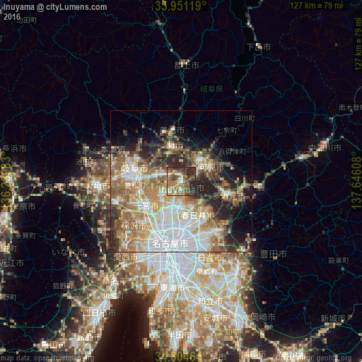
Analysis of Inuyama night lights 2016
Square area 10x10 km:
 3.3%
3.3%90-99
7.14%80-89
7.33%70-79
10.44%60-69
13.92%50-59
14.84%40-49
16.12%30-39
7.51%20-29
19.41%10-19
0%0-9
0%Square area 50x50 km:
10.12%90-99
8.42%80-89
5.26%70-79
6.48%60-69
8.23%50-59
7.82%40-49
5.2%30-39
4.97%20-29
9.09%10-19
8.06%0-9
26.35%Clear (daylight) street map image can be seen on geolist.org.
Map coordinates:
35° 57' 4.3" North, 136° 14' 23.4" East
35° 22' 47.8" North, 136° 56' 34.6" East
34° 48' 16.7" North, 137° 38' 45.9" East
Some cities around Inuyama sort by population:
• Kasugai
15 km =9.3 mi,  169°
169°
• Ichinomiya
15.7 km =9.8 mi,  235°
235°
• Komaki
11 km =6.8 mi,  192°
192°
• Kakamigahara
8 km =5 mi,  300°
300°
• Kōnan
8.5 km =5.3 mi,  230°
230°
• Minokamo
13.4 km =8.3 mi,  32°
32°
• Iwakura
12.8 km =8 mi,  212°
212°
• Kuroda
14.9 km =9.3 mi,  257°
257°
1861528 (p: 73,995)
Sources (retrieved 2019-11-25):
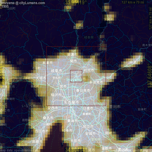
» NASA, Earths city lights 1995
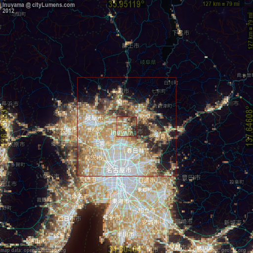
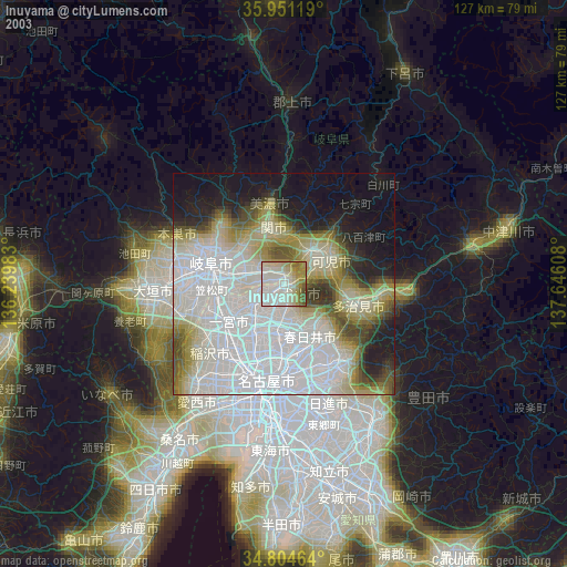
» NASA city lights 2003
» Earth at Night: Flat Maps 2012, 2016