Shirone night lights from space
Night Light of Shirone (Niigata) from space (Japan) Src. Average luminocity for 10x10km area is 6.9048% and for 50x50km: 10.7268%.
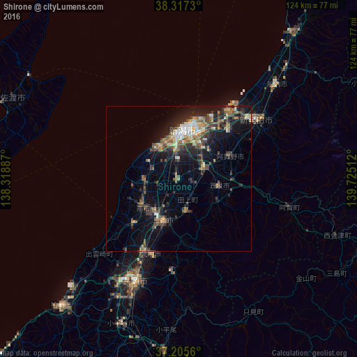
Analysis of Shirone night lights 2016
Square area 10x10 km:
 0%
0%90-99
0%80-89
0%70-79
0.85%60-69
2.21%50-59
1.7%40-49
0%30-39
2.38%20-29
3.06%10-19
0.68%0-9
89.12%Square area 50x50 km:
0.72%90-99
1.36%80-89
1.02%70-79
1.09%60-69
1.88%50-59
1.77%40-49
2.56%30-39
2.32%20-29
3.62%10-19
7.47%0-9
76.19%Clear (daylight) street map image can be seen on geolist.org.
Map coordinates:
38° 19' 2.3" North, 138° 19' 7.9" East
37° 45' 48.7" North, 139° 1' 19.2" East
37° 12' 20.2" North, 139° 43' 30.4" East
Some cities around Shirone sort by population:
• Niigata
13.7 km =8.5 mi,  354°
354°
• Niitsu-honchō
9.7 km =6 mi,  65°
65°
• Tsubame
13.9 km =8.6 mi,  217°
217°
• Gosen
13.2 km =8.2 mi,  104°
104°
• Kameda-honchō
14.3 km =8.9 mi,  32°
32°
• Kamo
11.1 km =6.9 mi,  174°
174°
• Maki
12.3 km =7.6 mi,  262°
262°
• Yoshida-kasugachō
15.1 km =9.4 mi,  233°
233°
1851813 (p: 41,406)
Sources (retrieved 2019-11-25):
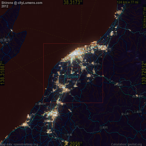
» Earth at Night: Flat Maps 2012, 2016