Hokuto night lights from space
Night Light of Hokuto (Yamanashi) from space (Japan) Src. Average luminocity for 10x10km area is 5.9528% and for 50x50km: 7.0985%.
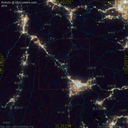
Analysis of Hokuto night lights 2016
Square area 10x10 km:
100  0.17%
0.17%
90-99 1.57%
80-89 1.05%
70-79 0%
60-69 0.7%
50-59 0.7%
40-49 0%
30-39 1.4%
20-29 2.8%
10-19 1.05%
0-9 90.56%
0.17%90-99
1.57%80-89
1.05%70-79
0%60-69
0.7%50-59
0.7%40-49
0%30-39
1.4%20-29
2.8%10-19
1.05%0-9
90.56%Square area 50x50 km:
100 0.61%
90-99 1.3%
80-89 0.97%
70-79 0.84%
60-69 0.88%
50-59 1.45%
40-49 1.44%
30-39 1.14%
20-29 1.93%
10-19 3.45%
0-9 85.98%
0.61%90-99
1.3%80-89
0.97%70-79
0.84%60-69
0.88%50-59
1.45%40-49
1.44%30-39
1.14%20-29
1.93%10-19
3.45%0-9
85.98%Clear (daylight) street map image can be seen on geolist.org.
Map coordinates:
36° 24' 9.2" North, 137° 41' 34.6" East
35° 50' 4.5" North, 138° 23' 45.8" East
35° 15' 45" North, 139° 5' 57.1" East
Some cities around Hokuto sort by population:
• Kōfu
24.2 km =15 mi,  140°
140°
• Chino
28.1 km =17.5 mi,  309°
309°
• Suwa
34.1 km =21.2 mi, 311°
• Ryūō
22.6 km =14 mi,  155°
155°
• Nirasaki
15.7 km =9.8 mi, 161°
• Isawa
29.7 km =18.5 mi,  133°
133°
• Enzan
33.9 km =21.1 mi,  116°
116°
• Tatsuno
39.6 km =24.6 mi,  294°
294°
11524139 (p: 45,000)
Sources (retrieved 2019-11-25):
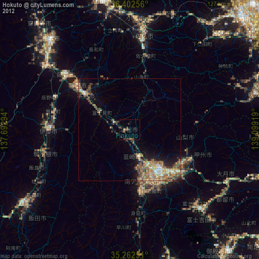
» Earth at Night: Flat Maps 2012, 2016