Sakai night lights from space
Night Light of Sakai (Ibaraki) from space (Japan) Src. Average luminocity for 10x10km area is 37.8297% and for 50x50km: 50.5904%.
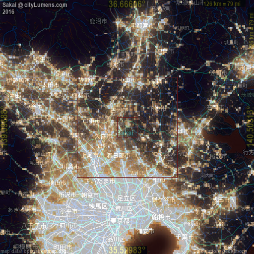
Analysis of Sakai night lights 2016
Square area 10x10 km:
100  0%
0%
90-99 4.21%
80-89 1.65%
70-79 3.48%
60-69 6.04%
50-59 8.42%
40-49 13%
30-39 18.32%
20-29 26.37%
10-19 18.5%
0-9 0%
0%90-99
4.21%80-89
1.65%70-79
3.48%60-69
6.04%50-59
8.42%40-49
13%30-39
18.32%20-29
26.37%10-19
18.5%0-9
0%Square area 50x50 km:
100 6.27%
90-99 9.46%
80-89 5.68%
70-79 7.55%
60-69 11.02%
50-59 8.46%
40-49 8.72%
30-39 10.39%
20-29 13.38%
10-19 16.11%
0-9 2.95%
6.27%90-99
9.46%80-89
5.68%70-79
7.55%60-69
11.02%50-59
8.46%40-49
8.72%30-39
10.39%20-29
13.38%10-19
16.11%0-9
2.95%Clear (daylight) street map image can be seen on geolist.org.
Map coordinates:
36° 39' 57.8" North, 139° 5' 48.8" East
36° 6' 0" North, 139° 48' 0" East
35° 31' 47.4" North, 140° 30' 11.3" East
Some cities around Sakai sort by population:
• Kasukabe
13.8 km =8.6 mi,  199°
199°
• Kukichūō
11.8 km =7.3 mi,  252°
252°
• Koga
11.9 km =7.4 mi,  321°
321°
• Satte
7.3 km =4.5 mi, 245°
• Sugito
10.1 km =6.3 mi,  220°
220°
• Iwai
10.6 km =6.6 mi,  121°
121°
• Kurihashi
9.7 km =6 mi,  292°
292°
• Ishige
15.1 km =9.4 mi,  82°
82°
1853193 (p: 26,918)
Sources (retrieved 2019-11-25):
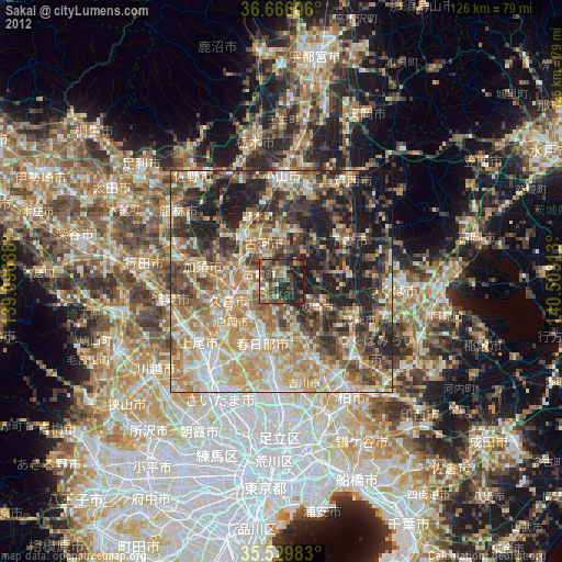
» Earth at Night: Flat Maps 2012, 2016