Koga night lights from space
Night Light of Koga (Ibaraki) from space (Japan) Src. Average luminocity for 10x10km area is 53.1556% and for 50x50km: 45.6481%.
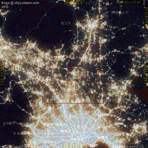


Analysis of Koga night lights 2016
Square area 10x10 km:
 3.15%
3.15%90-99
9.44%80-89
6.64%70-79
6.99%60-69
10.49%50-59
14.69%40-49
16.26%30-39
12.59%20-29
12.94%10-19
6.82%0-9
0%Square area 50x50 km:
3.07%90-99
7.35%80-89
4.95%70-79
6.28%60-69
9.44%50-59
9.07%40-49
11.01%30-39
11.91%20-29
16.16%10-19
18.53%0-9
2.24%Clear (daylight) street map image can be seen on geolist.org.
Map coordinates:
36° 44' 55.6" North, 139° 0' 48.8" East
36° 10' 60" North, 139° 43' 0" East
35° 36' 49.5" North, 140° 25' 11.3" East
Some cities around Koga sort by population:
• Oyama
15 km =9.3 mi,  29°
29°
• Kukichūō
13.4 km =8.3 mi,  196°
196°
• Kazo
12.8 km =8 mi,  234°
234°
• Satte
12.3 km =7.6 mi,  176°
176°
• Kurihashi
5.8 km =3.6 mi, 195°
• Sakai
11.9 km =7.4 mi,  141°
141°
• Kisai
15.1 km =9.4 mi, 232°
• Fujioka
9.5 km =5.9 mi,  321°
321°
1859093 (p: 58,004)
Sources (retrieved 2019-11-25):
» NASA, Earths city lights 1995
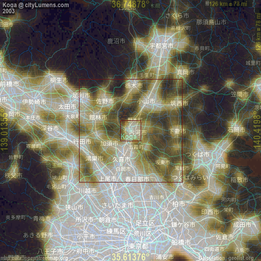
» NASA city lights 2003
» Earth at Night: Flat Maps 2012, 2016