Rifu night lights from space
Night Light of Rifu (Miyagi) from space (Japan) Src. Average luminocity for 10x10km area is 61.9422% and for 50x50km: 21.1719%.
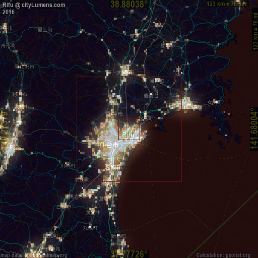
Analysis of Rifu night lights 2016
Square area 10x10 km:
 10.54%
90-99
14.29%80-89
6.46%70-79
12.59%60-69
15.31%50-59
7.48%40-49
4.25%30-39
6.29%20-29
14.8%10-19
7.99%0-9
0%Square area 50x50 km:
3.42%90-99
4.56%80-89
2.16%70-79
2.82%60-69
3.37%50-59
2.73%40-49
2.13%30-39
2.72%20-29
5.23%10-19
10.91%0-9
59.96%Clear (daylight) street map image can be seen on geolist.org.
Map coordinates:
38° 52' 49.4" North, 140° 16' 25.6" East
38° 19' 51.3" North, 140° 58' 36.9" East
37° 46' 38.1" North, 141° 40' 48.1" East
Some cities around Rifu sort by population:
• Sendai
12 km =7.5 mi,  233°
233°
• Furukawa
26.8 km =16.7 mi,  356°
356°
• Shiogama
5.2 km =3.2 mi,  107°
107°
• Tomiya
10.5 km =6.5 mi,  311°
311°
• Iwanuma
27.2 km =16.9 mi,  202°
202°
• Yamoto
23.4 km =14.5 mi,  62°
62°
• Kogota
25.2 km =15.7 mi,  14°
14°
• Matsushima
8.7 km =5.4 mi, 57°
2111277 (p: 35,037)
Sources (retrieved 2019-11-25):
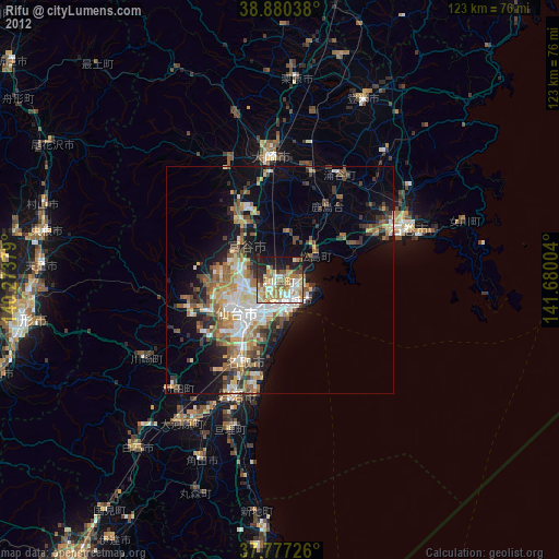
» Earth at Night: Flat Maps 2012, 2016