Yamoto night lights from space
Night Light of Yamoto (Miyagi) from space (Japan) Src. Average luminocity for 10x10km area is 30.5828% and for 50x50km: 11.6759%.
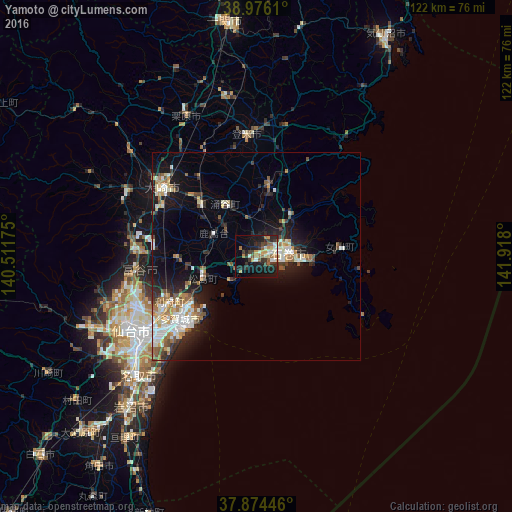
Analysis of Yamoto night lights 2016
Square area 10x10 km:
 3.08%
3.08%90-99
5.19%80-89
1.95%70-79
5.03%60-69
5.19%50-59
5.03%40-49
1.62%30-39
7.31%20-29
10.88%10-19
25.97%0-9
28.73%Square area 50x50 km:
1.65%90-99
2.4%80-89
0.83%70-79
1.48%60-69
1.71%50-59
1.6%40-49
1.11%30-39
1.46%20-29
3.35%10-19
8%0-9
76.42%Clear (daylight) street map image can be seen on geolist.org.
Map coordinates:
38° 58' 34" North, 140° 30' 42.3" East
38° 25' 38.6" North, 141° 12' 53.5" East
37° 52' 28.1" North, 141° 55' 4.8" East
Some cities around Yamoto sort by population:
• Ishinomaki
7.5 km =4.7 mi,  99°
99°
• Furukawa
27.7 km =17.2 mi,  305°
305°
• Shiogama
20 km =12.4 mi,  232°
232°
• Tomiya
28.9 km =18 mi,  262°
262°
• Rifu
23.4 km =14.5 mi,  242°
242°
• Kogota
19.8 km =12.3 mi, 313°
• Wakuya
14.8 km =9.2 mi,  331°
331°
• Matsushima
14.7 km =9.1 mi,  245°
245°
2110541 (p: 32,028)
Sources (retrieved 2019-11-25):
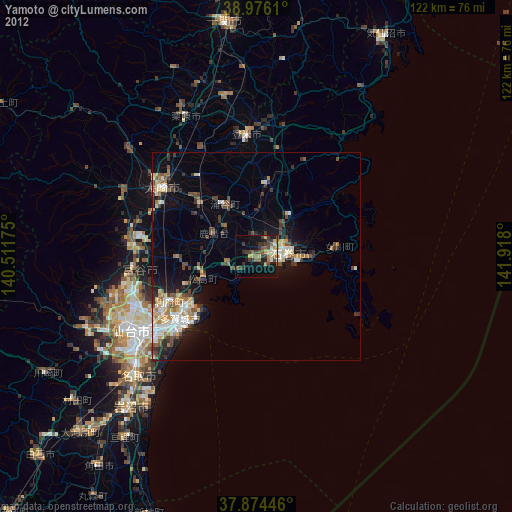
» Earth at Night: Flat Maps 2012, 2016