Iwanuma night lights from space
Night Light of Iwanuma (Miyagi) from space (Japan) Src. Average luminocity for 10x10km area is 42.8555% and for 50x50km: 18.0723%.
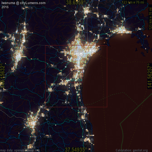
Analysis of Iwanuma night lights 2016
Square area 10x10 km:
 2.27%
2.27%90-99
6.66%80-89
6.33%70-79
3.08%60-69
6.33%50-59
11.04%40-49
9.74%30-39
11.04%20-29
17.69%10-19
25.65%0-9
0.16%Square area 50x50 km:
3.14%90-99
4.01%80-89
2.19%70-79
2.48%60-69
2.74%50-59
2.08%40-49
2.05%30-39
2.07%20-29
3.47%10-19
8.06%0-9
67.72%Clear (daylight) street map image can be seen on geolist.org.
Map coordinates:
38° 39' 21.2" North, 140° 9' 22.8" East
38° 6' 17" North, 140° 51' 34" East
37° 32' 57.7" North, 141° 33' 45.3" East
Some cities around Iwanuma sort by population:
• Sendai
18 km =11.2 mi,  2°
2°
• Shiogama
28 km =17.4 mi,  32°
32°
• Shiroishi
23.9 km =14.9 mi,  241°
241°
• Watari
7.8 km =4.8 mi,  185°
185°
• Rifu
27.2 km =16.9 mi,  22°
22°
• Kakuda
16.4 km =10.2 mi,  207°
207°
• Ōkawara
12.6 km =7.8 mi, 241°
• Marumori
22.4 km =13.9 mi,  201°
201°
2112527 (p: 42,411)
Sources (retrieved 2019-11-25):
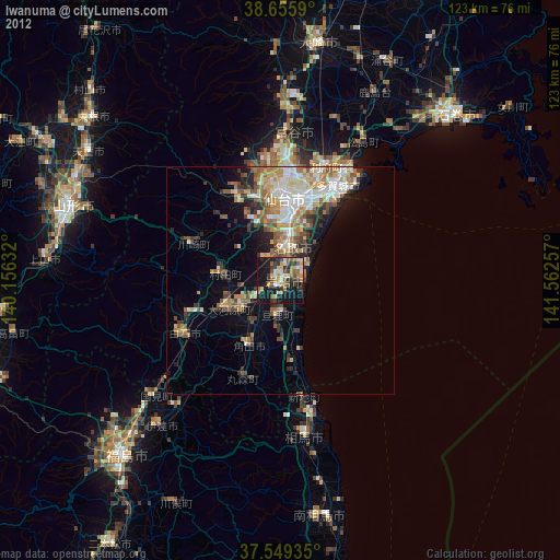
» Earth at Night: Flat Maps 2012, 2016