Kuroiso night lights from space
Night Light of Kuroiso (Tochigi) from space (Japan) Src. Average luminocity for 10x10km area is 24.2289% and for 50x50km: 6.2543%.
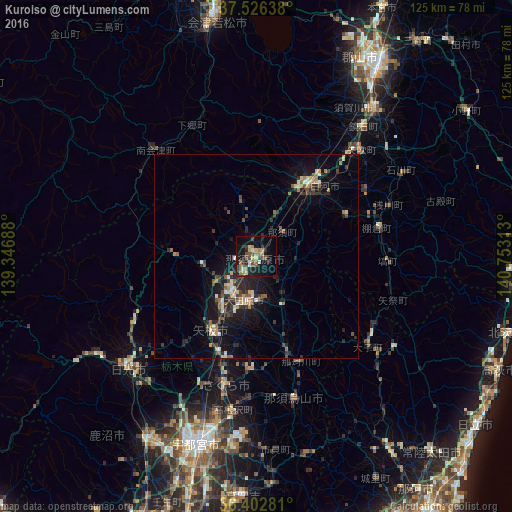
Analysis of Kuroiso night lights 2016
Square area 10x10 km:
 0.81%
0.81%90-99
2.76%80-89
2.76%70-79
3.08%60-69
5.52%50-59
4.06%40-49
5.03%30-39
2.6%20-29
6.17%10-19
27.76%0-9
39.45%Square area 50x50 km:
0.24%90-99
0.86%80-89
0.52%70-79
0.83%60-69
0.8%50-59
0.93%40-49
1.06%30-39
1.05%20-29
2.65%10-19
5.68%0-9
85.37%Clear (daylight) street map image can be seen on geolist.org.
Map coordinates:
37° 31' 35" North, 139° 20' 48.8" East
36° 58' 0" North, 140° 3' 0" East
36° 24' 10.1" North, 140° 45' 11.3" East
Some cities around Kuroiso sort by population:
• Imaichi
42.9 km =26.7 mi,  229°
229°
• Ōtawara
11.2 km =7 mi,  187°
187°
• Yaita
21.2 km =13.2 mi,  209°
209°
• Ujiie
32.4 km =20.1 mi, 193°
• Daigo
34.7 km =21.6 mi,  129°
129°
• Ishikawa
40.9 km =25.4 mi,  60°
60°
• Karasuyama
36.3 km =22.6 mi,  165°
165°
• Nikkō
45.5 km =28.3 mi,  237°
237°
2112077 (p: 61,230)
Sources (retrieved 2019-11-25):
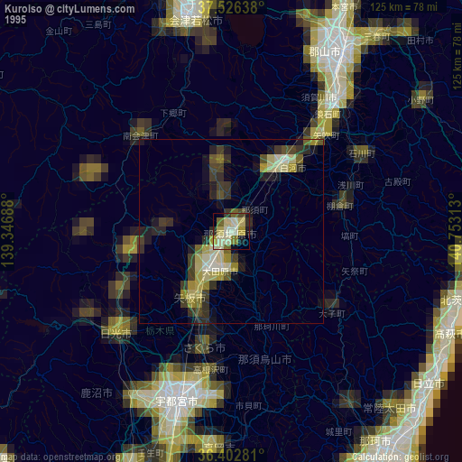
» NASA, Earths city lights 1995
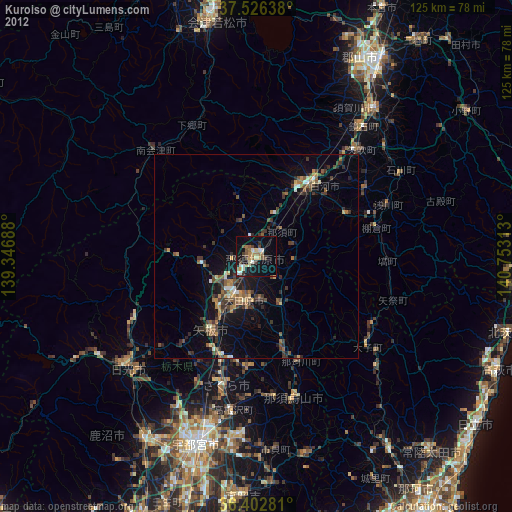
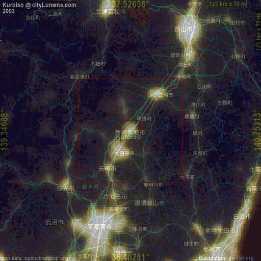
» NASA city lights 2003
» Earth at Night: Flat Maps 2012, 2016