Daigo night lights from space
Night Light of Daigo (Ibaraki) from space (Japan) Src. Average luminocity for 10x10km area is 6.5734% and for 50x50km: 2.2413%.
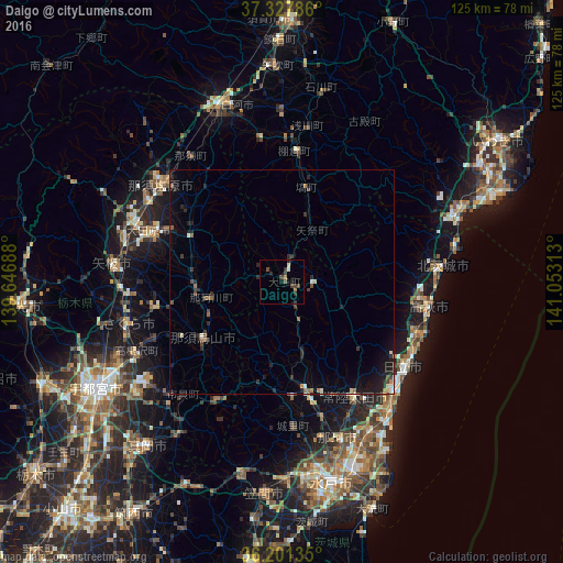
Analysis of Daigo night lights 2016
Square area 10x10 km:
 0%
0%90-99
1.22%80-89
0.17%70-79
0.52%60-69
0.87%50-59
0.35%40-49
2.97%30-39
1.92%20-29
3.15%10-19
1.4%0-9
87.41%Square area 50x50 km:
0.03%90-99
0.29%80-89
0.15%70-79
0.16%60-69
0.17%50-59
0.45%40-49
0.39%30-39
0.44%20-29
1.09%10-19
1.64%0-9
95.18%Clear (daylight) street map image can be seen on geolist.org.
Map coordinates:
37° 19' 40.3" North, 139° 38' 48.8" East
36° 46' 0" North, 140° 21' 0" East
36° 12' 4.9" North, 141° 3' 11.3" East
Some cities around Daigo sort by population:
• Hitachi
32.5 km =20.2 mi,  124°
124°
• Kuroiso
34.7 km =21.6 mi,  309°
309°
• Ōtawara
30.3 km =18.8 mi,  291°
291°
• Takahagi
33.1 km =20.6 mi,  99°
99°
• Ujiie
35.4 km =22 mi,  254°
254°
• Ōmiya
24.8 km =15.4 mi,  166°
166°
• Motegi
31.5 km =19.6 mi,  208°
208°
• Karasuyama
22 km =13.7 mi,  233°
233°
2112989 (p: 22,310)
Sources (retrieved 2019-11-25):
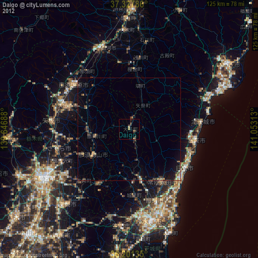
» Earth at Night: Flat Maps 2012, 2016