Ōmiya night lights from space
Night Light of Ōmiya (Ibaraki) from space (Japan) Src. Average luminocity for 10x10km area is 14.9652% and for 50x50km: 14.9277%.
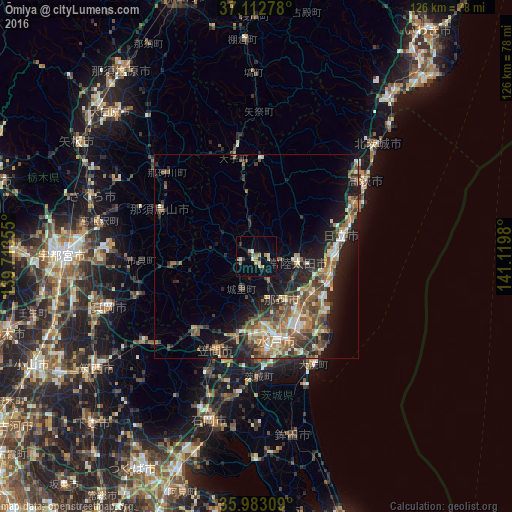
Analysis of Ōmiya night lights 2016
Square area 10x10 km:
 0.73%
0.73%90-99
3.48%80-89
2.01%70-79
2.2%60-69
1.1%50-59
2.93%40-49
0.73%30-39
0.55%20-29
1.65%10-19
3.48%0-9
81.14%Square area 50x50 km:
1.23%90-99
2.07%80-89
1.54%70-79
1.89%60-69
2.55%50-59
3.58%40-49
2.82%30-39
2.61%20-29
4.69%10-19
8.7%0-9
68.32%Clear (daylight) street map image can be seen on geolist.org.
Map coordinates:
37° 6' 46" North, 139° 42' 48.8" East
36° 33' 0" North, 140° 25' 0" East
35° 58' 59.1" North, 141° 7' 11.3" East
Some cities around Ōmiya sort by population:
• Mito
22.4 km =13.9 mi,  172°
172°
• Hitachi
21.6 km =13.4 mi,  75°
75°
• Hitachi-Naka
20.1 km =12.5 mi,  148°
148°
• Katsuta
21.3 km =13.2 mi, 150°
• Tomobe
24.6 km =15.3 mi,  205°
205°
• Funaishikawa
16.3 km =10.1 mi,  124°
124°
• Kasama
22.9 km =14.2 mi,  215°
215°
• Motegi
21.2 km =13.2 mi,  259°
259°
2111425 (p: 27,588)
Sources (retrieved 2019-11-25):
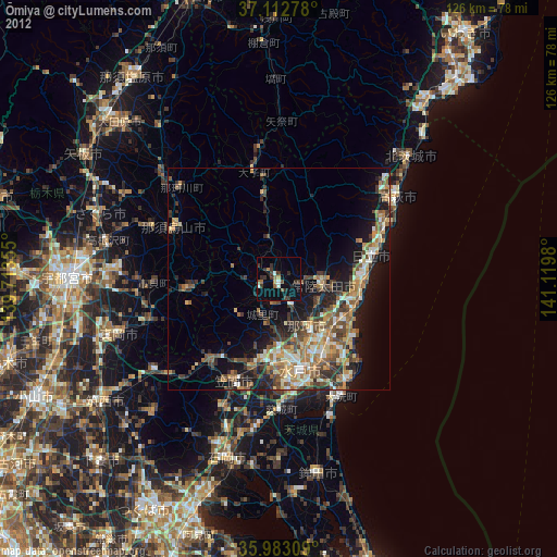
» Earth at Night: Flat Maps 2012, 2016