Hitachi-Naka night lights from space
Night Light of Hitachi-Naka (Ibaraki) from space (Japan) Src. Average luminocity for 10x10km area is 63.0839% and for 50x50km: 16.8455%.
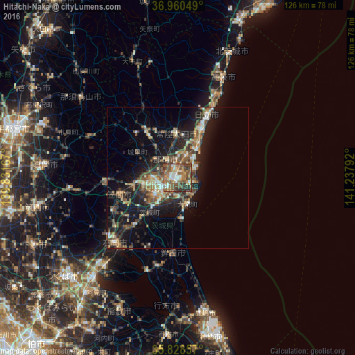
Analysis of Hitachi-Naka night lights 2016
Square area 10x10 km:
 6.99%
6.99%90-99
10.14%80-89
9.27%70-79
7.87%60-69
16.26%50-59
22.2%40-49
13.11%30-39
9.09%20-29
5.07%10-19
0%0-9
0%Square area 50x50 km:
1.33%90-99
2.38%80-89
1.76%70-79
2.15%60-69
2.59%50-59
3.52%40-49
3.23%30-39
2.93%20-29
5.78%10-19
12.61%0-9
61.73%Clear (daylight) street map image can be seen on geolist.org.
Map coordinates:
36° 57' 37.8" North, 139° 49' 54" East
36° 23' 47.7" North, 140° 32' 5.2" East
35° 49' 42.9" North, 141° 14' 16.5" East
Some cities around Hitachi-Naka sort by population:
• Mito
9.2 km =5.7 mi,  235°
235°
• Katsuta
1.5 km =0.9 mi,  185°
185°
• Tomobe
21.6 km =13.4 mi,  256°
256°
• Funaishikawa
8.3 km =5.2 mi,  20°
20°
• Okunoya
16.4 km =10.2 mi,  220°
220°
• Kasama
24 km =14.9 mi,  266°
266°
• Ōmiya
20.1 km =12.5 mi,  328°
328°
• Ōarai
10.2 km =6.3 mi,  154°
154°
6822096 (p: 156,811)
Sources (retrieved 2019-11-25):
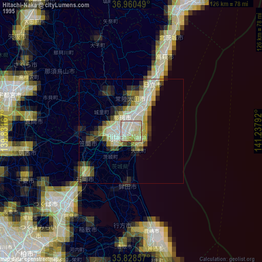
» NASA, Earths city lights 1995
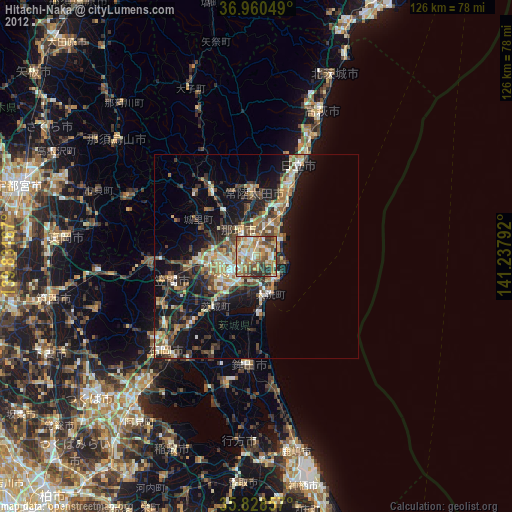
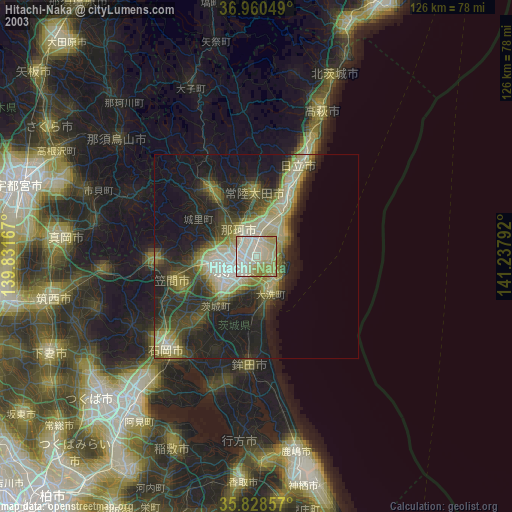
» NASA city lights 2003
» Earth at Night: Flat Maps 2012, 2016