Funaishikawa night lights from space
Night Light of Funaishikawa (Ibaraki) from space (Japan) Src. Average luminocity for 10x10km area is 56.1795% and for 50x50km: 16.1923%.
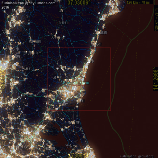
Analysis of Funaishikawa night lights 2016
Square area 10x10 km:
 5.68%
5.68%90-99
9.89%80-89
6.41%70-79
9.16%60-69
8.97%50-59
14.1%40-49
16.12%30-39
9.71%20-29
17.4%10-19
2.56%0-9
0%Square area 50x50 km:
1.3%90-99
2.3%80-89
1.77%70-79
2.08%60-69
2.54%50-59
3.41%40-49
2.99%30-39
2.63%20-29
5.47%10-19
12.38%0-9
63.13%Clear (daylight) street map image can be seen on geolist.org.
Map coordinates:
37° 1' 48.2" North, 139° 51' 48.8" East
36° 28' 0" North, 140° 34' 0" East
35° 53' 57" North, 141° 16' 11.3" East
Some cities around Funaishikawa sort by population:
• Mito
16.7 km =10.4 mi,  218°
218°
• Hitachi
16.6 km =10.3 mi,  26°
26°
• Hitachi-Naka
8.3 km =5.2 mi,  200°
200°
• Katsuta
9.7 km =6 mi, 197°
• Tomobe
27.2 km =16.9 mi,  241°
241°
• Okunoya
24.4 km =15.2 mi,  213°
213°
• Ōmiya
16.3 km =10.1 mi,  304°
304°
• Ōarai
17 km =10.6 mi,  174°
174°
2112913 (p: 35,318)
Sources (retrieved 2019-11-25):
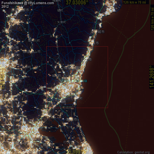
» Earth at Night: Flat Maps 2012, 2016