Katsuta night lights from space
Night Light of Katsuta (Ibaraki) from space (Japan) Src. Average luminocity for 10x10km area is 63.1276% and for 50x50km: 16.9013%.
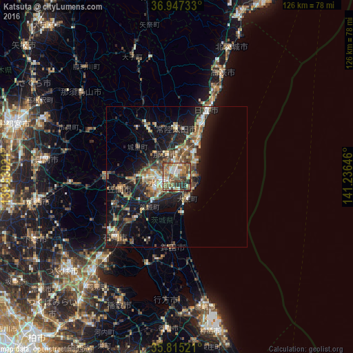

Analysis of Katsuta night lights 2016
Square area 10x10 km:
 8.04%
8.04%90-99
10.84%80-89
8.22%70-79
8.57%60-69
15.91%50-59
22.38%40-49
7.52%30-39
10.14%20-29
8.39%10-19
0%0-9
0%Square area 50x50 km:
1.31%90-99
2.33%80-89
1.75%70-79
2.08%60-69
2.62%50-59
3.61%40-49
3.24%30-39
3.07%20-29
5.8%10-19
12.73%0-9
61.44%Clear (daylight) street map image can be seen on geolist.org.
Map coordinates:
36° 56' 50.4" North, 139° 49' 48.8" East
36° 22' 60" North, 140° 31' 60" East
35° 48' 54.8" North, 141° 14' 11.3" East
Some cities around Katsuta sort by population:
• Mito
8.3 km =5.2 mi,  243°
243°
• Hitachi-Naka
1.5 km =0.9 mi,  5°
5°
• Tomobe
21.2 km =13.2 mi,  259°
259°
• Funaishikawa
9.7 km =6 mi,  17°
17°
• Okunoya
15.3 km =9.5 mi,  223°
223°
• Kasama
23.9 km =14.9 mi,  270°
270°
• Ōmiya
21.3 km =13.2 mi,  330°
330°
• Ōarai
8.9 km =5.5 mi,  149°
149°
2112312 (p: 155,968)
Sources (retrieved 2019-11-25):
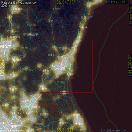
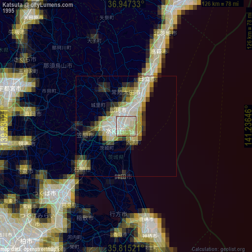
» NASA, Earths city lights 1995
» NASA city lights 2003
» Earth at Night: Flat Maps 2012, 2016