Kaminokawa night lights from space
Night Light of Kaminokawa (Tochigi) from space (Japan) Src. Average luminocity for 10x10km area is 41.6783% and for 50x50km: 24.658%.
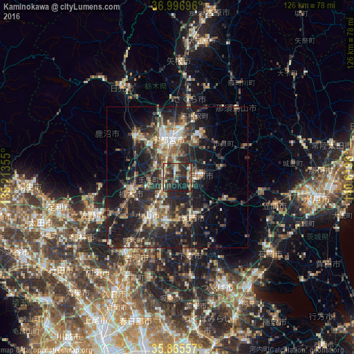
Analysis of Kaminokawa night lights 2016
Square area 10x10 km:
 2.8%
2.8%90-99
5.24%80-89
3.32%70-79
5.42%60-69
7.69%50-59
4.02%40-49
12.41%30-39
17.48%20-29
23.78%10-19
17.83%0-9
0%Square area 50x50 km:
1.65%90-99
3.77%80-89
1.91%70-79
2.59%60-69
3.92%50-59
4.65%40-49
5.29%30-39
6.42%20-29
11.37%10-19
18.81%0-9
39.62%Clear (daylight) street map image can be seen on geolist.org.
Map coordinates:
36° 59' 49.1" North, 139° 12' 48.8" East
36° 25' 60" North, 139° 55' 0" East
35° 51' 56.1" North, 140° 37' 11.3" East
Some cities around Kaminokawa sort by population:
• Utsunomiya
15.1 km =9.4 mi,  348°
348°
• Oyama
18.1 km =11.2 mi,  215°
215°
• Tochigi
17.3 km =10.7 mi,  251°
251°
• Mooka
8.9 km =5.5 mi,  90°
90°
• Shimodate
16 km =9.9 mi,  158°
158°
• Yūki
15.1 km =9.4 mi,  191°
191°
• Mibu
10.6 km =6.6 mi,  259°
259°
• Mashiko
16.8 km =10.4 mi,  77°
77°
1860458 (p: 30,827)
Sources (retrieved 2019-11-25):
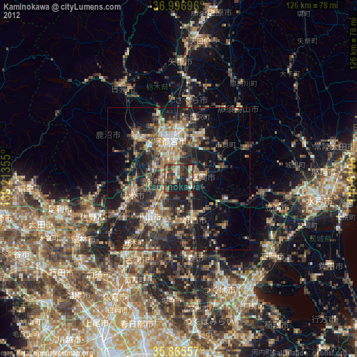
» Earth at Night: Flat Maps 2012, 2016