Mobara night lights from space
Night Light of Mobara (Chiba) from space (Japan) Src. Average luminocity for 10x10km area is 27.7784% and for 50x50km: 16.3699%.
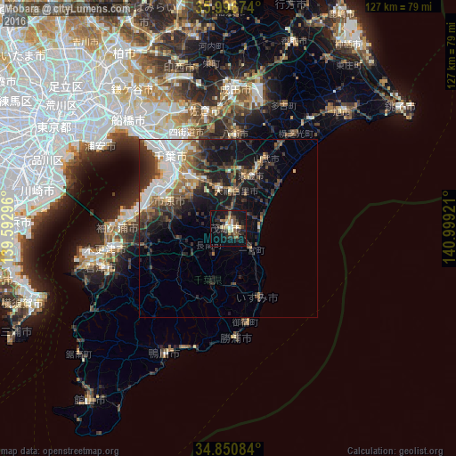
Analysis of Mobara night lights 2016
Square area 10x10 km:
 2.01%
2.01%90-99
3.66%80-89
2.38%70-79
3.66%60-69
3.66%50-59
6.04%40-49
3.11%30-39
6.23%20-29
11.72%10-19
29.12%0-9
28.39%Square area 50x50 km:
2.94%90-99
3.16%80-89
1.11%70-79
1.38%60-69
2.19%50-59
2.17%40-49
2.75%30-39
3.66%20-29
5.23%10-19
10.22%0-9
65.19%Clear (daylight) street map image can be seen on geolist.org.
Map coordinates:
35° 59' 48.3" North, 139° 35' 34.7" East
35° 25' 33" North, 140° 17' 45.9" East
34° 51' 3" North, 140° 59' 57.2" East
Some cities around Mobara sort by population:
• Chiba
25.3 km =15.7 mi,  320°
320°
• Ichihara
21.8 km =13.5 mi,  297°
297°
• Yotsukaidō
27.5 km =17.1 mi,  334°
334°
• Yachimata
25 km =15.5 mi,  4°
4°
• Tōgane
15.2 km =9.4 mi,  24°
24°
• Ōami
10.3 km =6.4 mi,  10°
10°
• Narutō
22.2 km =13.8 mi,  29°
29°
• Ōhara
21.7 km =13.5 mi,  156°
156°
2111855 (p: 97,315)
Sources (retrieved 2019-11-25):
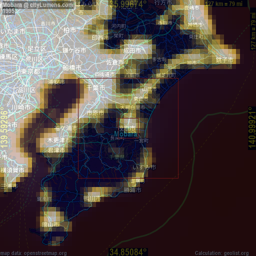
» NASA, Earths city lights 1995
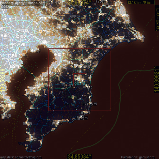
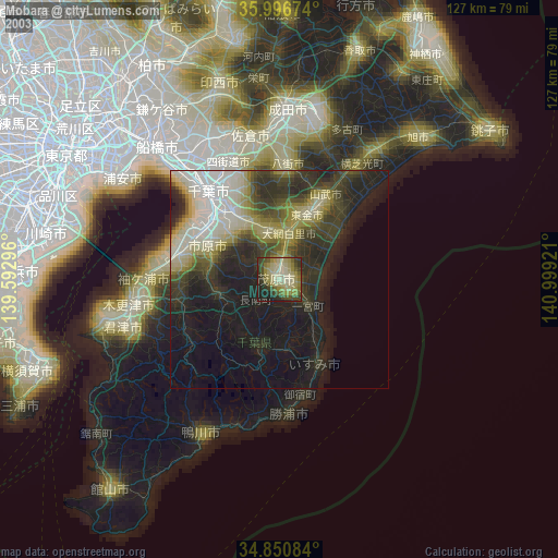
» NASA city lights 2003
» Earth at Night: Flat Maps 2012, 2016