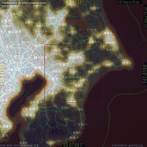
Yachimata night lights from space
Night Light of Yachimata (Chiba) from space (Japan) Src. Average luminocity for 10x10km area is 24.8654% and for 50x50km: 33.2564%.


Analysis of Yachimata night lights 2016
Square area 10x10 km:
 0.35%
0.35%90-99
1.75%80-89
0.7%70-79
1.4%60-69
3.32%50-59
3.5%40-49
5.42%30-39
11.89%20-29
19.06%10-19
42.13%0-9
10.49%Square area 50x50 km:
5.58%90-99
6.72%80-89
3.03%70-79
3.7%60-69
4.69%50-59
5.17%40-49
6.25%30-39
6.38%20-29
8.62%10-19
13.98%0-9
35.87%Clear (daylight) street map image can be seen on geolist.org.
Map coordinates:
36° 13' 9.5" North, 139° 36' 48.8" East
35° 39' 0" North, 140° 19' 0" East
35° 4' 35.8" North, 141° 1' 11.3" East
Some cities around Yachimata sort by population:
• Chiba
18.9 km =11.7 mi,  252°
252°
• Sakura
10.6 km =6.6 mi,  314°
314°
• Narita
14.8 km =9.2 mi,  0°
0°
• Yotsukaidō
13.6 km =8.5 mi,  270°
270°
• Tōgane
12 km =7.5 mi,  157°
157°
• Ōami
14.8 km =9.2 mi,  180°
180°
• Narutō
10.6 km =6.6 mi,  121°
121°
• Shisui
8.7 km =5.4 mi,  328°
328°
2110579 (p: 83,322)
Sources (retrieved 2019-11-25):
» NASA, Earths city lights 1995
» NASA city lights 2003
» Earth at Night: Flat Maps 2012, 2016