Chiba night lights from space
Night Light of Chiba from space (Japan) Src. Average luminocity for 10x10km area is 89.4703% and for 50x50km: 48.3669%.
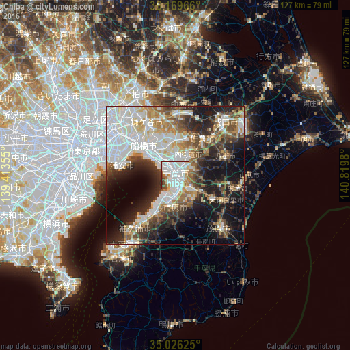

Analysis of Chiba night lights 2016
Square area 10x10 km:
 38.64%
90-99
33.92%80-89
6.12%70-79
6.47%60-69
6.47%50-59
2.1%40-49
2.27%30-39
4.02%20-29
0%10-19
0%0-9
0%Square area 50x50 km:
13.67%90-99
11.74%80-89
4.38%70-79
4.57%60-69
4.97%50-59
5.12%40-49
6.05%30-39
6.77%20-29
10.39%10-19
14.86%0-9
17.47%Clear (daylight) street map image can be seen on geolist.org.
Map coordinates:
36° 10' 10.8" North, 139° 24' 48.8" East
35° 36' 0" North, 140° 7' 0" East
35° 1' 34.5" North, 140° 49' 11.3" East
Some cities around Chiba sort by population:
• Honchō
16.3 km =10.1 mi,  313°
313°
• Ichihara
9.7 km =6 mi,  198°
198°
• Sakura
16.7 km =10.4 mi,  39°
39°
• Urayasu
22.1 km =13.7 mi,  290°
290°
• Yotsukaidō
7.2 km =4.5 mi, 39°
• Yachimata
18.9 km =11.7 mi,  72°
72°
• Ōami
20.3 km =12.6 mi,  117°
117°
• Shisui
18.8 km =11.7 mi,  46°
46°
2113015 (p: 919,729)
Sources (retrieved 2019-11-25):
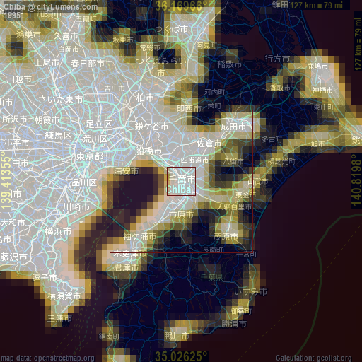
» NASA, Earths city lights 1995
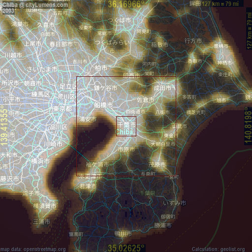
» NASA city lights 2003
» Earth at Night: Flat Maps 2012, 2016