Tōgane night lights from space
Night Light of Tōgane (Chiba) from space (Japan) Src. Average luminocity for 10x10km area is 30.1813% and for 50x50km: 22.6318%.
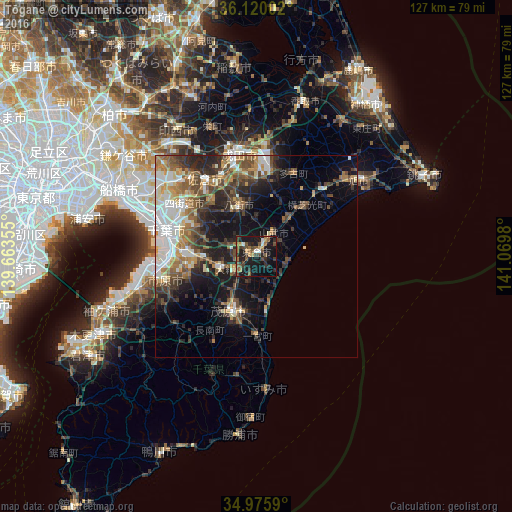
Analysis of Tōgane night lights 2016
Square area 10x10 km:
 1.47%
1.47%90-99
2.2%80-89
0.92%70-79
4.76%60-69
4.76%50-59
7.88%40-49
8.97%30-39
6.04%20-29
10.07%10-19
38.28%0-9
14.65%Square area 50x50 km:
3.3%90-99
4.13%80-89
1.97%70-79
2.63%60-69
3.47%50-59
3.68%40-49
4.43%30-39
4.32%20-29
6.54%10-19
10.95%0-9
54.58%Clear (daylight) street map image can be seen on geolist.org.
Map coordinates:
36° 7' 12.1" North, 139° 39' 48.8" East
35° 33' 0" North, 140° 22' 0" East
34° 58' 33.2" North, 141° 4' 11.3" East
Some cities around Tōgane sort by population:
• Chiba
23.3 km =14.5 mi,  283°
283°
• Sakura
22.1 km =13.7 mi,  326°
326°
• Mobara
15.2 km =9.4 mi,  204°
204°
• Yotsukaidō
21.2 km =13.2 mi,  301°
301°
• Yachimata
12 km =7.5 mi,  337°
337°
• Ōami
5.8 km =3.6 mi,  230°
230°
• Narutō
7.2 km =4.5 mi,  39°
39°
• Shisui
20.6 km =12.8 mi, 334°
2110774 (p: 66,332)
Sources (retrieved 2019-11-25):
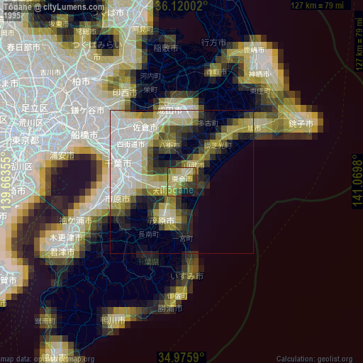
» NASA, Earths city lights 1995
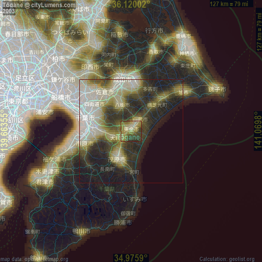
» NASA city lights 2003
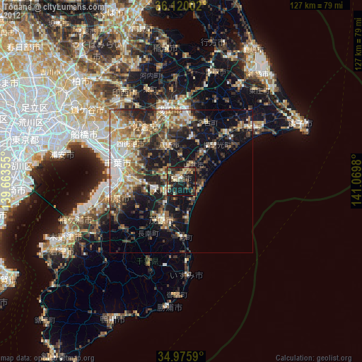
» Earth at Night: Flat Maps 2012, 2016