Yotsukaidō night lights from space
Night Light of Yotsukaidō (Chiba) from space (Japan) Src. Average luminocity for 10x10km area is 77.9143% and for 50x50km: 47.772%.
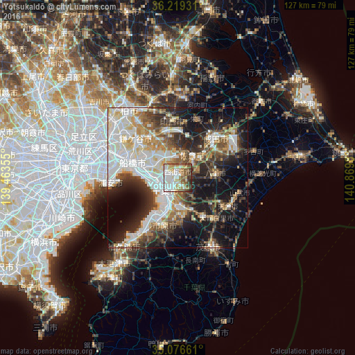


Analysis of Yotsukaidō night lights 2016
Square area 10x10 km:
 21.85%
90-99
21.68%80-89
14.16%70-79
4.02%60-69
14.51%50-59
9.79%40-49
6.82%30-39
5.07%20-29
2.1%10-19
0%0-9
0%Square area 50x50 km:
11.51%90-99
11.82%80-89
4.95%70-79
4.84%60-69
5.26%50-59
5.29%40-49
6.45%30-39
7.16%20-29
10.01%10-19
16.12%0-9
16.59%Clear (daylight) street map image can be seen on geolist.org.
Map coordinates:
36° 13' 9.5" North, 139° 27' 48.8" East
35° 39' 0" North, 140° 10' 0" East
35° 4' 35.8" North, 140° 52' 11.3" East
Some cities around Yotsukaidō sort by population:
• Chiba
7.2 km =4.5 mi,  219°
219°
• Honchō
17.2 km =10.7 mi,  289°
289°
• Ichihara
16.6 km =10.3 mi,  206°
206°
• Sakura
9.5 km =5.9 mi,  39°
39°
• Narita
20.1 km =12.5 mi, 42°
• Yachimata
13.6 km =8.5 mi,  90°
90°
• Shiroi
19 km =11.8 mi,  331°
331°
• Shisui
11.7 km =7.3 mi,  50°
50°
2110480 (p: 86,701)
Sources (retrieved 2019-11-25):
» NASA, Earths city lights 1995
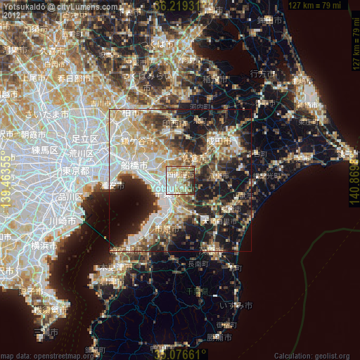
» NASA city lights 2003
» Earth at Night: Flat Maps 2012, 2016