Ichihara night lights from space
Night Light of Ichihara (Chiba) from space (Japan) Src. Average luminocity for 10x10km area is 74.2857% and for 50x50km: 39.6629%.
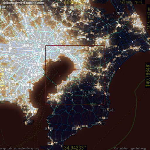
Analysis of Ichihara night lights 2016
Square area 10x10 km:
 23.44%
90-99
23.44%80-89
7.33%70-79
4.58%60-69
6.96%50-59
10.44%40-49
8.97%30-39
8.61%20-29
5.68%10-19
0.55%0-9
0%Square area 50x50 km:
11.88%90-99
8.63%80-89
3.07%70-79
3.35%60-69
4.09%50-59
4.17%40-49
5.12%30-39
6.45%20-29
9.4%10-19
14.42%0-9
29.43%Clear (daylight) street map image can be seen on geolist.org.
Map coordinates:
36° 5' 12.9" North, 139° 22' 48.8" East
35° 31' 0" North, 140° 4' 60" East
34° 56' 32.4" North, 140° 47' 11.3" East
Some cities around Ichihara sort by population:
• Chiba
9.7 km =6 mi,  18°
18°
• Honchō
22.3 km =13.9 mi,  336°
336°
• Urayasu
24.6 km =15.3 mi,  314°
314°
• Kisarazu
20.2 km =12.6 mi,  222°
222°
• Mobara
21.8 km =13.5 mi,  117°
117°
• Yotsukaidō
16.6 km =10.3 mi,  26°
26°
• Yachimata
25.8 km =16 mi,  54°
54°
• Ōami
21.1 km =13.1 mi,  90°
90°
2112664 (p: 283,531)
Sources (retrieved 2019-11-25):
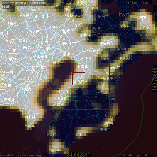
» NASA, Earths city lights 1995
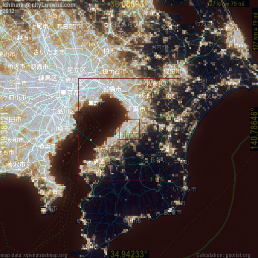
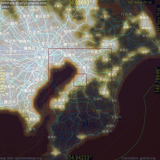
» NASA city lights 2003
» Earth at Night: Flat Maps 2012, 2016