Shimodate night lights from space
Night Light of Shimodate (Ibaraki) from space (Japan) Src. Average luminocity for 10x10km area is 33.4738% and for 50x50km: 27.2637%.
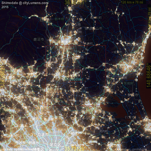
Analysis of Shimodate night lights 2016
Square area 10x10 km:
 1.22%
1.22%90-99
6.64%80-89
1.92%70-79
6.12%60-69
3.5%50-59
5.42%40-49
5.59%30-39
9.62%20-29
13.11%10-19
35.31%0-9
11.54%Square area 50x50 km:
1.44%90-99
3.72%80-89
2.11%70-79
3.01%60-69
4.55%50-59
5.6%40-49
6.41%30-39
7.7%20-29
12.98%10-19
20.51%0-9
31.97%Clear (daylight) street map image can be seen on geolist.org.
Map coordinates:
36° 51' 52.6" North, 139° 16' 48.8" East
36° 18' 0" North, 139° 58' 60" East
35° 43' 52.6" North, 140° 41' 11.3" East
Some cities around Shimodate sort by population:
• Tsukuba
15.3 km =9.5 mi,  136°
136°
• Oyama
16.4 km =10.2 mi,  270°
270°
• Mooka
15.1 km =9.4 mi,  11°
11°
• Yūki
9 km =5.6 mi, 270°
• Kaminokawa
16 km =9.9 mi,  338°
338°
• Ishige
20.4 km =12.7 mi,  184°
184°
• Iwase
11.8 km =7.3 mi,  61°
61°
• Makabe
11.1 km =6.9 mi,  109°
109°
1852347 (p: 63,666)
Sources (retrieved 2019-11-25):
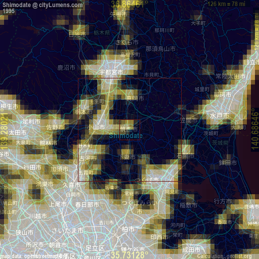
» NASA, Earths city lights 1995
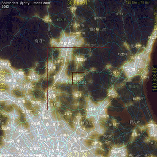
» NASA city lights 2003
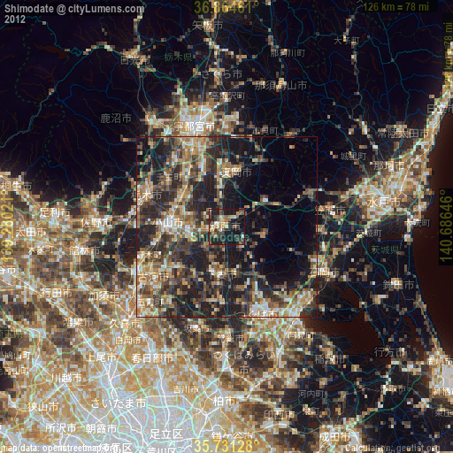
» Earth at Night: Flat Maps 2012, 2016