Tottori night lights from space
Night Light of Tottori from space (Japan) Src. Average luminocity for 10x10km area is 33.2985% and for 50x50km: 2.1872%.
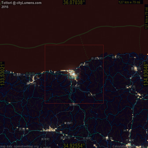
Analysis of Tottori night lights 2016
Square area 10x10 km:
 1.47%
1.47%90-99
4.4%80-89
4.76%70-79
5.31%60-69
6.23%50-59
8.97%40-49
4.21%30-39
5.13%20-29
8.79%10-19
27.84%0-9
22.89%Square area 50x50 km:
0.06%90-99
0.18%80-89
0.31%70-79
0.31%60-69
0.39%50-59
0.38%40-49
0.31%30-39
0.48%20-29
0.69%10-19
1.83%0-9
95.07%Clear (daylight) street map image can be seen on geolist.org.
Map coordinates:
36° 4' 13.4" North, 133° 31' 48.8" East
35° 30' 0" North, 134° 13' 60" East
34° 55' 31.9" North, 134° 56' 11.3" East
Some cities around Tottori sort by population:
• Yonago
81.8 km =50.8 mi,  264°
264°
• Tsuyama
54.2 km =33.7 mi,  203°
203°
• Fukuchiyama
83.1 km =51.6 mi,  105°
105°
• Kurayoshi
38.5 km =23.9 mi, 258°
• Toyooka
53.3 km =33.1 mi,  85°
85°
• Tatsunochō-tominaga
76.4 km =47.5 mi,  157°
157°
• Aioi
80.3 km =49.9 mi, 164°
• Yamazakichō-nakabirose
62.6 km =38.9 mi,  152°
152°
1849892 (p: 154,098)
Sources (retrieved 2019-11-25):
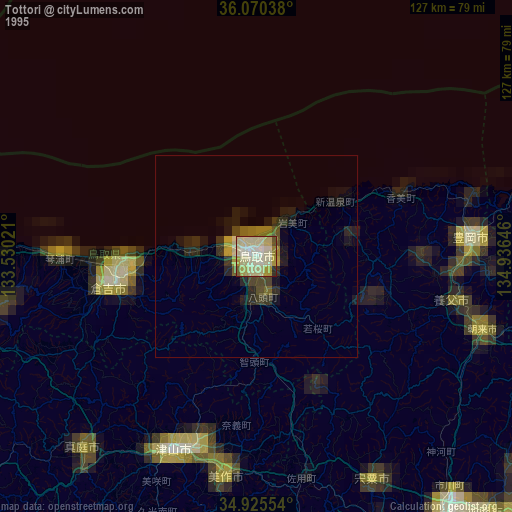
» NASA, Earths city lights 1995
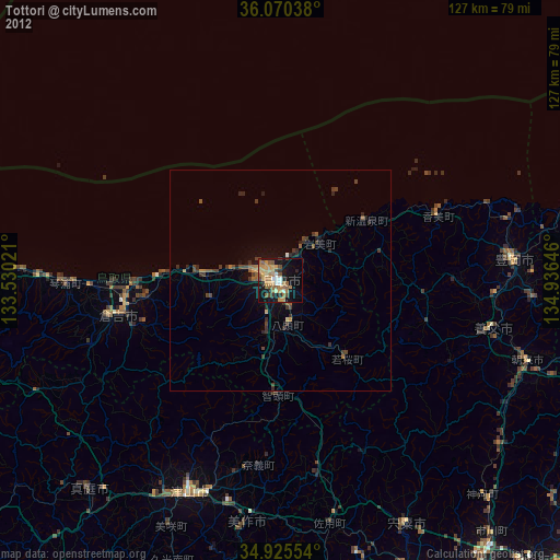
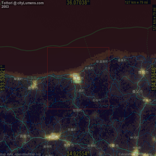
» NASA city lights 2003
» Earth at Night: Flat Maps 2012, 2016