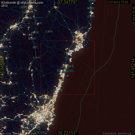
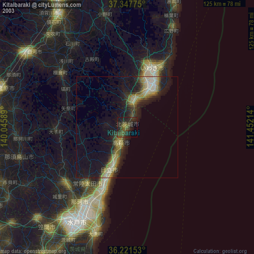
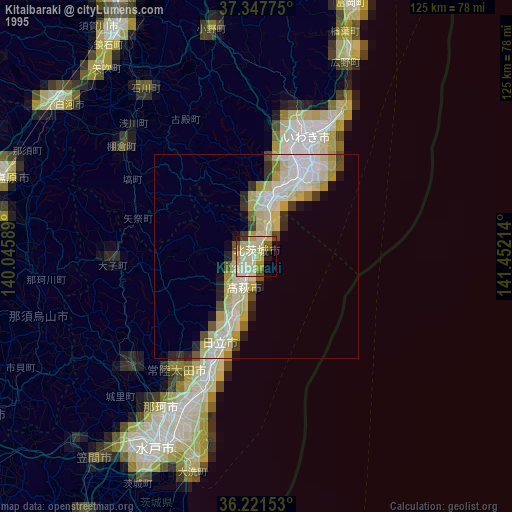
Kitaibaraki night lights from space
Night Light of Kitaibaraki (Ibaraki) from space (Japan) Src. Average luminocity for 10x10km area is 17.0559% and for 50x50km: 7.1853%.
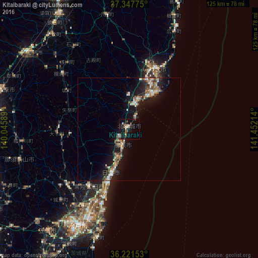
Analysis of Kitaibaraki night lights 2016
Square area 10x10 km:
 1.22%
1.22%90-99
2.8%80-89
1.22%70-79
1.75%60-69
2.1%50-59
2.8%40-49
1.92%30-39
2.27%20-29
5.42%10-19
19.93%0-9
58.57%Square area 50x50 km:
0.61%90-99
1.11%80-89
0.61%70-79
0.86%60-69
0.93%50-59
1.31%40-49
0.94%30-39
1.17%20-29
1.73%10-19
8.05%0-9
82.67%Clear (daylight) street map image can be seen on geolist.org.
Map coordinates:
37° 20' 51.9" North, 140° 2' 45.2" East
36° 47' 12.2" North, 140° 44' 56.4" East
36° 13' 17.5" North, 141° 27' 7.7" East
Some cities around Kitaibaraki sort by population:
• Iwaki
31.6 km =19.6 mi,  22°
22°
• Hitachi
22.6 km =14 mi,  203°
203°
• Hitachi-Naka
47.4 km =29.5 mi, 203°
• Funaishikawa
39.1 km =24.3 mi, 204°
• Takahagi
8.3 km =5.2 mi, 200°
• Ōmiya
39.6 km =24.6 mi,  228°
228°
• Daigo
35.6 km =22.1 mi,  266°
266°
• Ishikawa
48.3 km =30 mi,  326°
326°
2112232 (p: 50,843)
Sources (retrieved 2019-11-25):
» NASA, Earths city lights 1995
» NASA city lights 2003
» Earth at Night: Flat Maps 2012, 2016