Ishigaki night lights from space
Night Light of Ishigaki (Okinawa) from space (Japan) Src. Average luminocity for 10x10km area is 14.494% and for 50x50km: 0.726%.
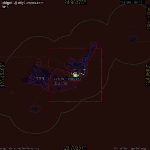
Analysis of Ishigaki night lights 2016
Square area 10x10 km:
 0.2%
0.2%90-99
1.39%80-89
0.79%70-79
4.56%60-69
3.37%50-59
1.39%40-49
0.99%30-39
3.37%20-29
5.16%10-19
0.6%0-9
78.17%Square area 50x50 km:
0.01%90-99
0.06%80-89
0.03%70-79
0.22%60-69
0.19%50-59
0.06%40-49
0.04%30-39
0.19%20-29
0.25%10-19
0.06%0-9
98.89%Clear (daylight) street map image can be seen on geolist.org.
Map coordinates:
24° 59' 1.5" North, 123° 27' 14.6" East
24° 20' 41.2" North, 124° 9' 25.8" East
23° 42' 9.3" North, 124° 51' 37.1" East
Some cities around Ishigaki sort by population:
• Taipei, TW
276.5 km =171.8 mi,  286°
286°
• Banqiao, TW
281.8 km =175.1 mi, 285°
• Taoyuan City, TW
297.9 km =185.1 mi,  284°
284°
• Keelung, TW
259 km =160.9 mi, 289°
• Hualien City, TW
262.2 km =162.9 mi,  261°
261°
• Yilan, TW
247.4 km =153.7 mi, 280°
• Daxi, TW
295.9 km =183.9 mi, 281°
• Hirara
126.5 km =78.6 mi,  66°
66°
1861416 (p: 44,802)
Sources (retrieved 2019-11-25):
» Earth at Night: Flat Maps 2012, 2016