Daxi night lights from space
Night Light of Daxi (Taiwan) from space (Taiwan) Src. Average luminocity for 10x10km area is 72.4489% and for 50x50km: 54.5674%.
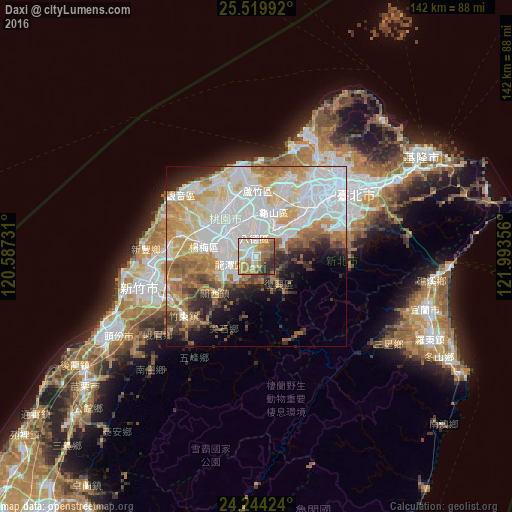
Analysis of Daxi night lights 2016
Square area 10x10 km:
 12.88%
90-99
16.48%80-89
12.12%70-79
14.2%60-69
19.51%50-59
8.14%40-49
4.73%30-39
6.06%20-29
5.87%10-19
0%0-9
0%Square area 50x50 km:
19.07%90-99
12.15%80-89
6.52%70-79
7.45%60-69
7.46%50-59
4.7%40-49
3.36%30-39
3.95%20-29
5.1%10-19
5.63%0-9
24.61%Clear (daylight) street map image can be seen on geolist.org.
Map coordinates:
25° 31' 11.7" North, 120° 35' 14.3" East
24° 53' 1.4" North, 121° 17' 25.5" East
24° 14' 39.3" North, 121° 59' 36.8" East
Some cities around Daxi sort by population:
• Taipei
30.4 km =18.9 mi,  53°
53°
• Taichung
102.4 km =63.6 mi,  216°
216°
• Banqiao
23 km =14.3 mi, 50°
• Hsinchu
33.7 km =20.9 mi,  254°
254°
• Taoyuan City
12.2 km =7.6 mi,  3°
3°
• Keelung
53 km =32.9 mi,  59°
59°
• Hualien City
105.7 km =65.7 mi,  162°
162°
• Yilan
48.8 km =30.3 mi,  106°
106°
1668467 (p: 84,549)
Sources (retrieved 2019-11-25):
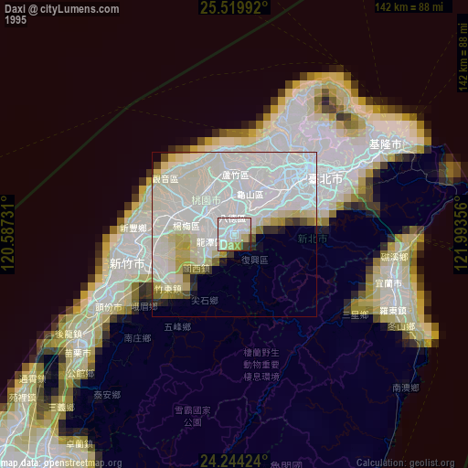
» NASA, Earths city lights 1995
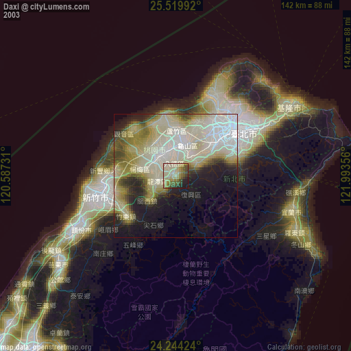
» NASA city lights 2003
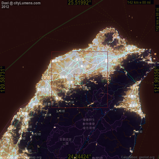
» Earth at Night: Flat Maps 2012, 2016