Yilan night lights from space
Night Light of Yilan (Taiwan) from space (Taiwan) Src. Average luminocity for 10x10km area is 72.5379% and for 50x50km: 16.8235%.
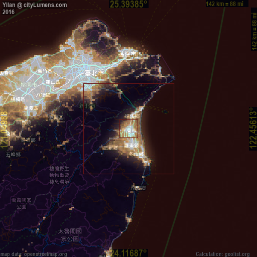

Analysis of Yilan night lights 2016
Square area 10x10 km:
 12.12%
90-99
15.53%80-89
7.2%70-79
20.64%60-69
22.54%50-59
11.74%40-49
2.08%30-39
2.84%20-29
3.22%10-19
2.08%0-9
0%Square area 50x50 km:
1.84%90-99
2.39%80-89
1.37%70-79
3.07%60-69
4.39%50-59
3.67%40-49
1.73%30-39
2.15%20-29
4.07%10-19
8.25%0-9
67.06%Clear (daylight) street map image can be seen on geolist.org.
Map coordinates:
25° 23' 37.9" North, 121° 2' 59.6" East
24° 45' 25.2" North, 121° 45' 10.8" East
24° 7' 0.7" North, 122° 27' 22.1" East
Some cities around Yilan sort by population:
• Taipei
39.3 km =24.4 mi,  325°
325°
• Banqiao
40.6 km =25.2 mi,  314°
314°
• Hsinchu
79.4 km =49.3 mi,  273°
273°
• Taoyuan City
53 km =32.9 mi,  299°
299°
• Keelung
41.3 km =25.7 mi,  358°
358°
• Hualien City
88 km =54.7 mi,  189°
189°
• Puli
118.4 km =73.6 mi,  222°
222°
• Daxi
48.8 km =30.3 mi,  286°
286°
1674199 (p: 94,188)
Sources (retrieved 2019-11-25):
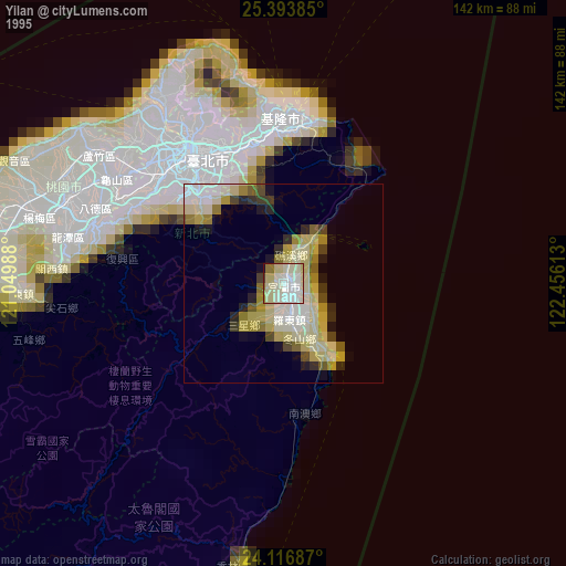
» NASA, Earths city lights 1995
» NASA city lights 2003
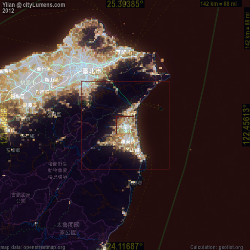
» Earth at Night: Flat Maps 2012, 2016