Hualien City night lights from space
Night Light of Hualien City (Taiwan) from space (Taiwan) Src. Average luminocity for 10x10km area is 68.4432% and for 50x50km: 8.8963%.
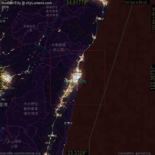
Analysis of Hualien City night lights 2016
Square area 10x10 km:
 23.86%
90-99
21.21%80-89
7.2%70-79
3.03%60-69
9.09%50-59
4.55%40-49
3.03%30-39
2.46%20-29
14.39%10-19
10.04%0-9
1.14%Square area 50x50 km:
1.13%90-99
1.06%80-89
0.6%70-79
1.17%60-69
2.25%50-59
1.33%40-49
1.05%30-39
1.48%20-29
2.72%10-19
6.65%0-9
80.56%Clear (daylight) street map image can be seen on geolist.org.
Map coordinates:
24° 37' 4" North, 120° 54' 4.8" East
23° 58' 37" North, 121° 36' 16" East
23° 19' 58.4" North, 122° 18' 27.3" East
Some cities around Hualien City sort by population:
• Taichung
95.4 km =59.3 mi,  281°
281°
• Yuanlin
104.5 km =64.9 mi,  268°
268°
• Nantou
95.8 km =59.5 mi, 265°
• Yilan
88 km =54.7 mi,  9°
9°
• Puli
64.5 km =40.1 mi, 268°
• Daxi
105.7 km =65.7 mi,  342°
342°
• Zhongxing New Village
93.4 km =58 mi, 268°
• Lugu
90.3 km =56.1 mi,  253°
253°
1674504 (p: 350,468)
Sources (retrieved 2019-11-25):
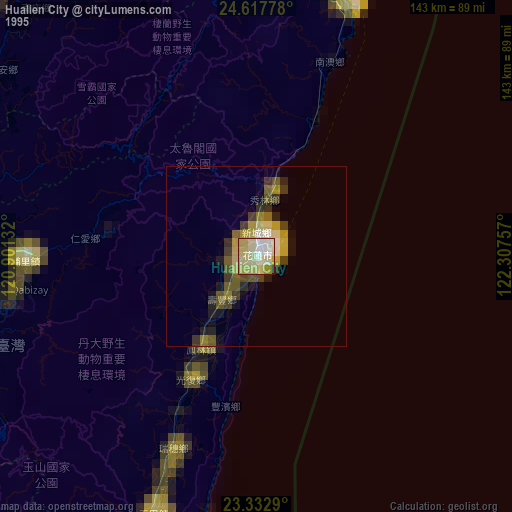
» NASA, Earths city lights 1995
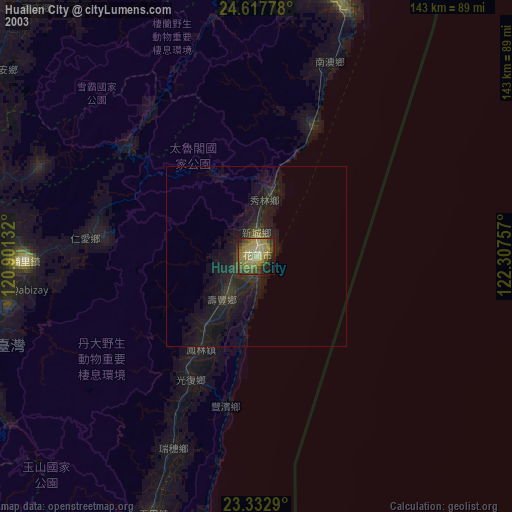
» NASA city lights 2003
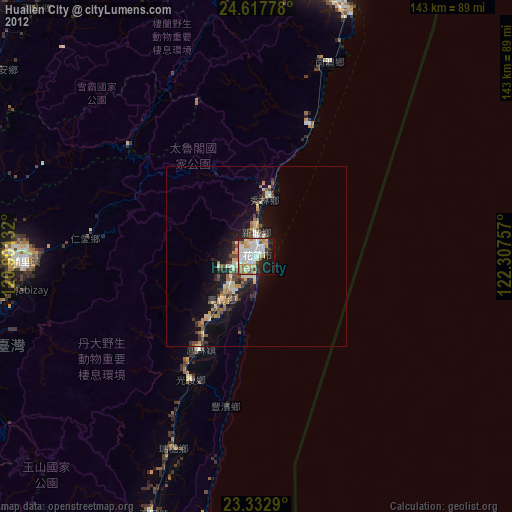
» Earth at Night: Flat Maps 2012, 2016