Keelung night lights from space
Night Light of Keelung (Taiwan) from space (Taiwan) Src. Average luminocity for 10x10km area is 73.892% and for 50x50km: 26.164%.
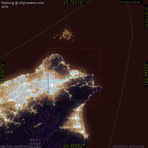
Analysis of Keelung night lights 2016
Square area 10x10 km:
 22.16%
90-99
19.13%80-89
7.58%70-79
4.92%60-69
14.39%50-59
16.29%40-49
3.6%30-39
2.46%20-29
9.47%10-19
0%0-9
0%Square area 50x50 km:
6.67%90-99
3.92%80-89
1.16%70-79
3.01%60-69
4.91%50-59
4.13%40-49
4.53%30-39
4%20-29
5.79%10-19
11.03%0-9
50.85%Clear (daylight) street map image can be seen on geolist.org.
Map coordinates:
25° 45' 47.4" North, 121° 2' 19.6" East
25° 7' 41.7" North, 121° 44' 30.8" East
24° 29' 24.1" North, 122° 26' 42.1" East
Some cities around Keelung sort by population:
• Taipei
23 km =14.3 mi,  247°
247°
• Banqiao
30.4 km =18.9 mi, 245°
• Hsinchu
85.9 km =53.4 mi, 245°
• Taoyuan City
47.2 km =29.3 mi, 251°
• Hualien City
128.8 km =80 mi,  186°
186°
• Yilan
41.3 km =25.7 mi,  178°
178°
• Puli
151 km =93.8 mi,  211°
211°
• Daxi
53 km =32.9 mi,  239°
239°
1678228 (p: 397,515)
Sources (retrieved 2019-11-25):
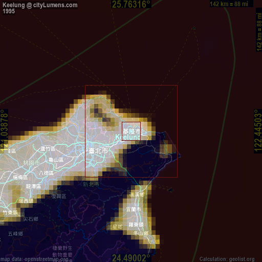
» NASA, Earths city lights 1995
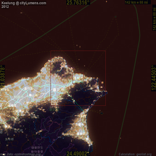
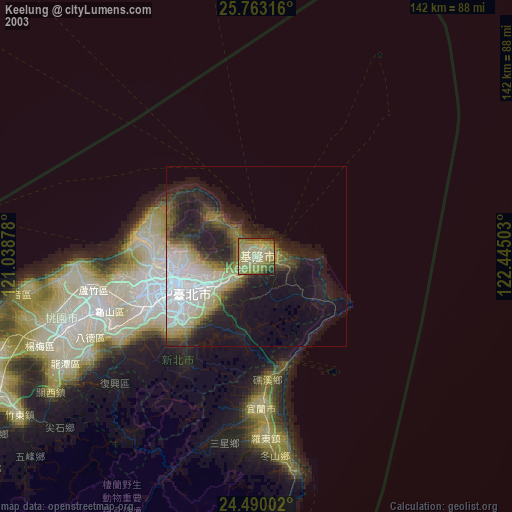
» NASA city lights 2003
» Earth at Night: Flat Maps 2012, 2016