Kuroda night lights from space
Night Light of Kuroda (Aichi) from space (Japan) Src. Average luminocity for 10x10km area is 77.1484% and for 50x50km: 49.455%.
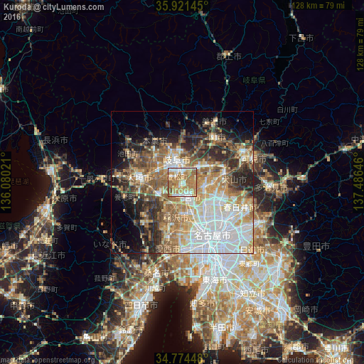
Analysis of Kuroda night lights 2016
Square area 10x10 km:
 13.37%
90-99
14.84%80-89
10.62%70-79
17.22%60-69
34.07%50-59
9.71%40-49
0.18%30-39
0%20-29
0%10-19
0%0-9
0%Square area 50x50 km:
12.04%90-99
9.41%80-89
5.78%70-79
6.88%60-69
8.4%50-59
8.67%40-49
5.68%30-39
5.1%20-29
8.84%10-19
8.07%0-9
21.12%Clear (daylight) street map image can be seen on geolist.org.
Map coordinates:
35° 55' 17.2" North, 136° 4' 48.8" East
35° 21' 0" North, 136° 46' 60" East
34° 46' 28.1" North, 137° 29' 11.3" East
Some cities around Kuroda sort by population:
• Gifu-shi
8.4 km =5.2 mi,  345°
345°
• Ichinomiya
5.8 km =3.6 mi,  164°
164°
• Kakamigahara
10.6 km =6.6 mi,  45°
45°
• Inazawa
11.1 km =6.9 mi,  180°
180°
• Kōnan
8.2 km =5.1 mi,  104°
104°
• Iwakura
10.6 km =6.6 mi,  134°
134°
• Sobue
12.7 km =7.9 mi,  208°
208°
• Kasamatsuchō
2.4 km =1.5 mi,  320°
320°
1858249 (p: 32,586)
Sources (retrieved 2019-11-25):
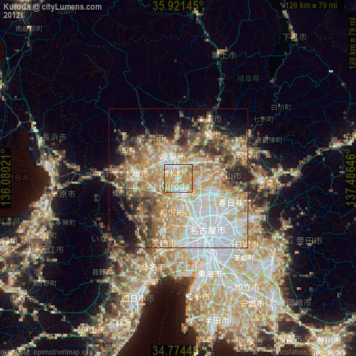
» Earth at Night: Flat Maps 2012, 2016