Kakamigahara night lights from space
Night Light of Kakamigahara (Gifu) from space (Japan) Src. Average luminocity for 10x10km area is 54.456% and for 50x50km: 41.5414%.
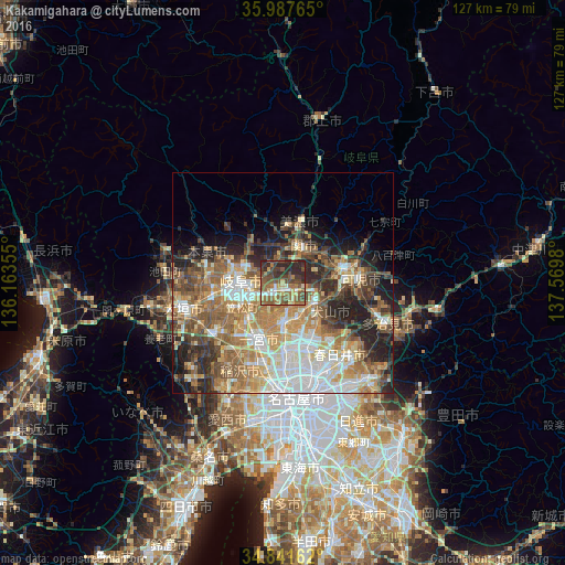
Analysis of Kakamigahara night lights 2016
Square area 10x10 km:
 4.76%
4.76%90-99
5.13%80-89
8.97%70-79
4.03%60-69
11.17%50-59
23.08%40-49
13%30-39
12.09%20-29
17.77%10-19
0%0-9
0%Square area 50x50 km:
7.21%90-99
7.75%80-89
5.12%70-79
6.43%60-69
8.04%50-59
8.14%40-49
5.97%30-39
5.18%20-29
9.31%10-19
7.17%0-9
29.69%Clear (daylight) street map image can be seen on geolist.org.
Map coordinates:
35° 59' 15.5" North, 136° 9' 48.8" East
35° 25' 0" North, 136° 52' 0" East
34° 50' 29.8" North, 137° 34' 11.3" East
Some cities around Kakamigahara sort by population:
• Gifu-shi
9.7 km =6 mi,  274°
274°
• Ichinomiya
14.3 km =8.9 mi,  204°
204°
• Kōnan
9.5 km =5.9 mi,  177°
177°
• Inuyama
8 km =5 mi,  120°
120°
• Iwakura
14.8 km =9.2 mi, 180°
• Kuroda
10.6 km =6.6 mi,  225°
225°
• Mino
13.7 km =8.5 mi,  19°
19°
• Kasamatsuchō
10.6 km =6.6 mi,  238°
238°
1860735 (p: 132,241)
Sources (retrieved 2019-11-25):
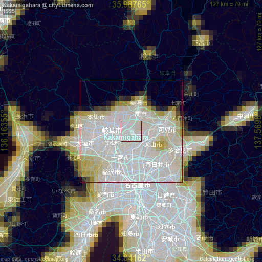
» NASA, Earths city lights 1995
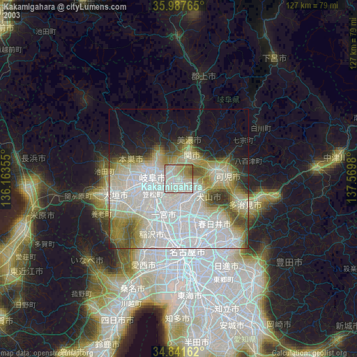
» NASA city lights 2003
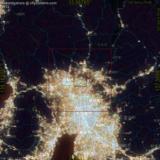
» Earth at Night: Flat Maps 2012, 2016