Ichinoseki night lights from space
Night Light of Ichinoseki (Iwate) from space (Japan) Src. Average luminocity for 10x10km area is 18.4915% and for 50x50km: 2.6108%.
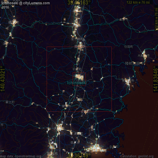
Analysis of Ichinoseki night lights 2016
Square area 10x10 km:
 0.51%
0.51%90-99
4.42%80-89
1.87%70-79
3.4%60-69
4.76%50-59
2.04%40-49
1.36%30-39
0.68%20-29
2.04%10-19
10.2%0-9
68.71%Square area 50x50 km:
0.06%90-99
0.31%80-89
0.17%70-79
0.3%60-69
0.52%50-59
0.43%40-49
0.6%30-39
0.59%20-29
0.77%10-19
0.87%0-9
95.39%Clear (daylight) street map image can be seen on geolist.org.
Map coordinates:
39° 27' 41.9" North, 140° 25' 48.8" East
38° 55' 0" North, 141° 7' 60" East
38° 22' 3" North, 141° 50' 11.3" East
Some cities around Ichinoseki sort by population:
• Kitakami
40.8 km =25.4 mi,  357°
357°
• Furukawa
41.3 km =25.7 mi,  201°
201°
• Hanamaki
51.9 km =32.2 mi, 358°
• Mizusawa
24.1 km =15 mi,  0°
0°
• Ōfunato
53.3 km =33.1 mi,  71°
71°
• Yamoto
54.9 km =34.1 mi,  172°
172°
• Kogota
41.4 km =25.7 mi,  190°
190°
• Wakuya
41.4 km =25.7 mi,  179°
179°
2112656 (p: 62,970)
Sources (retrieved 2019-11-25):
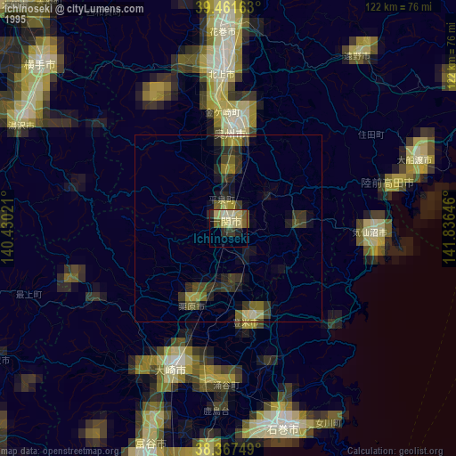
» NASA, Earths city lights 1995
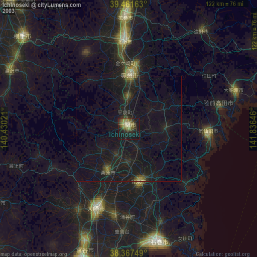
» NASA city lights 2003
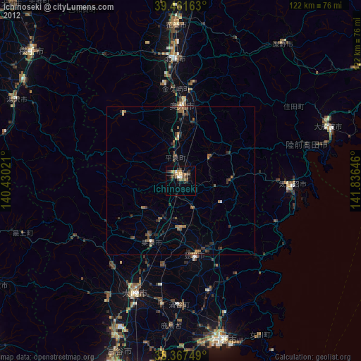
» Earth at Night: Flat Maps 2012, 2016