Hanamaki night lights from space
Night Light of Hanamaki (Iwate) from space (Japan) Src. Average luminocity for 10x10km area is 23.1105% and for 50x50km: 3.4695%.
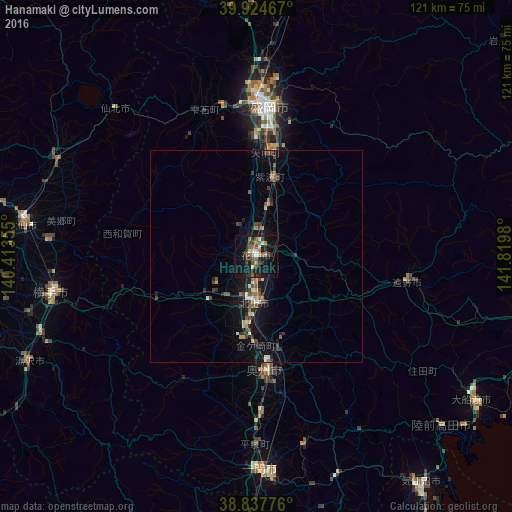
Analysis of Hanamaki night lights 2016
Square area 10x10 km:
 0.68%
0.68%90-99
4.08%80-89
1.36%70-79
0.85%60-69
5.1%50-59
4.42%40-49
5.27%30-39
3.4%20-29
6.63%10-19
27.38%0-9
40.82%Square area 50x50 km:
0.15%90-99
0.45%80-89
0.22%70-79
0.25%60-69
0.49%50-59
0.57%40-49
0.91%30-39
0.65%20-29
0.99%10-19
3.12%0-9
92.21%Clear (daylight) street map image can be seen on geolist.org.
Map coordinates:
39° 55' 28.8" North, 140° 24' 48.8" East
39° 22' 60" North, 141° 7' 0" East
38° 50' 15.9" North, 141° 49' 11.3" East
Some cities around Hanamaki sort by population:
• Morioka
35.3 km =21.9 mi,  4°
4°
• Kitakami
11.1 km =6.9 mi,  180°
180°
• Ichinoseki
51.9 km =32.2 mi, 178°
• Mizusawa
27.8 km =17.3 mi, 177°
• Yokote
49.3 km =30.6 mi,  261°
261°
• Tōno
36.6 km =22.7 mi,  101°
101°
• Shizukuishi
36.4 km =22.6 mi,  341°
341°
• Kakunodatemachi
52.4 km =32.6 mi,  295°
295°
2112823 (p: 73,115)
Sources (retrieved 2019-11-25):
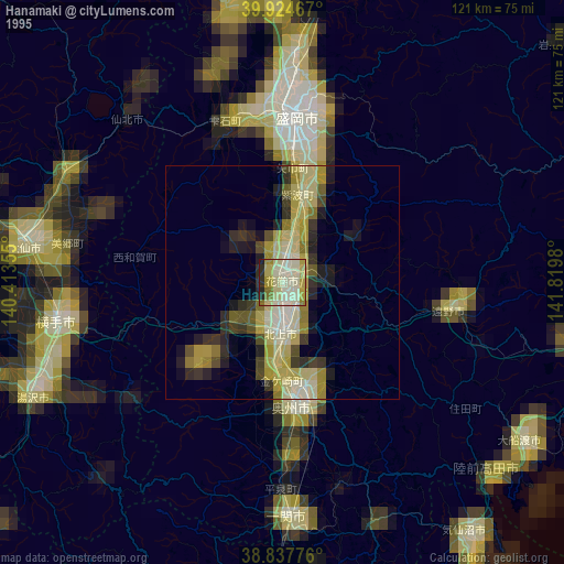
» NASA, Earths city lights 1995
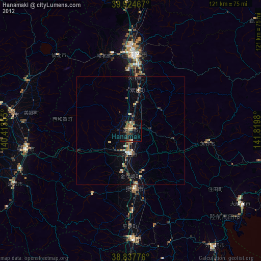
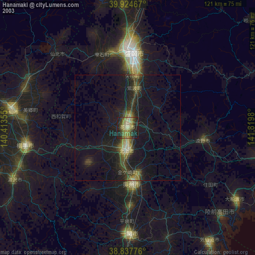
» NASA city lights 2003
» Earth at Night: Flat Maps 2012, 2016