Mizusawa night lights from space
Night Light of Mizusawa (Iwate) from space (Japan) Src. Average luminocity for 10x10km area is 14.599% and for 50x50km: 3.6358%.

Analysis of Mizusawa night lights 2016
Square area 10x10 km:
 0%
0%90-99
1.95%80-89
1.95%70-79
0.81%60-69
1.3%50-59
2.6%40-49
5.52%30-39
5.19%20-29
2.44%10-19
3.57%0-9
74.68%Square area 50x50 km:
0.15%90-99
0.5%80-89
0.36%70-79
0.4%60-69
0.42%50-59
0.57%40-49
0.93%30-39
0.53%20-29
0.99%10-19
2.73%0-9
92.43%Clear (daylight) street map image can be seen on geolist.org.
Map coordinates:
39° 40' 35.8" North, 140° 25' 48.8" East
39° 7' 60" North, 141° 7' 60" East
38° 35' 9" North, 141° 50' 11.3" East
Some cities around Mizusawa sort by population:
• Morioka
63 km =39.1 mi,  1°
1°
• Kitakami
16.7 km =10.4 mi,  355°
355°
• Hanamaki
27.8 km =17.3 mi, 357°
• Ichinoseki
24.1 km =15 mi,  180°
180°
• Yokote
54.2 km =33.7 mi,  292°
292°
• Ōfunato
50.8 km =31.6 mi,  97°
97°
• Yuzawa
54.7 km =34 mi,  273°
273°
• Tōno
40 km =24.9 mi,  59°
59°
2111859 (p: 61,281)
Sources (retrieved 2019-11-25):
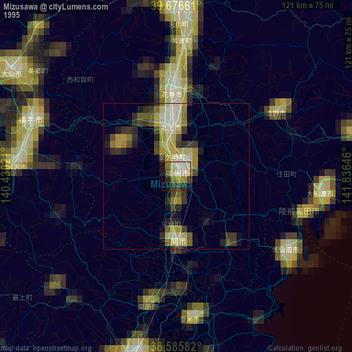
» NASA, Earths city lights 1995
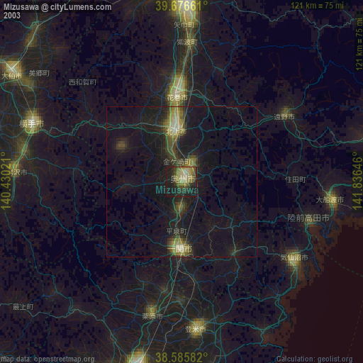
» NASA city lights 2003
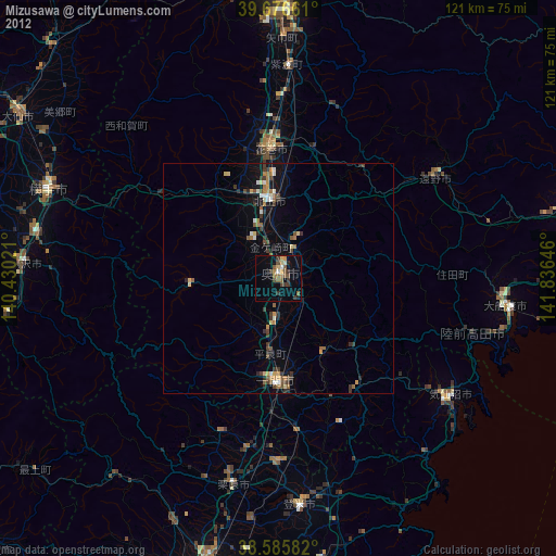
» Earth at Night: Flat Maps 2012, 2016